SERVIR-HKH is developing an agriculture advisory system and a food
SERVIR-HKH is monitoring annual forest and land cover at national
SERVIR-HKH is working on enhancing flood early warning information for
SERVIR-HKH are working to develop a suite of air quality
Demand-driven geospatial services using earth observations and climate data for resilient development.
Find the information you need by entering keywords below.
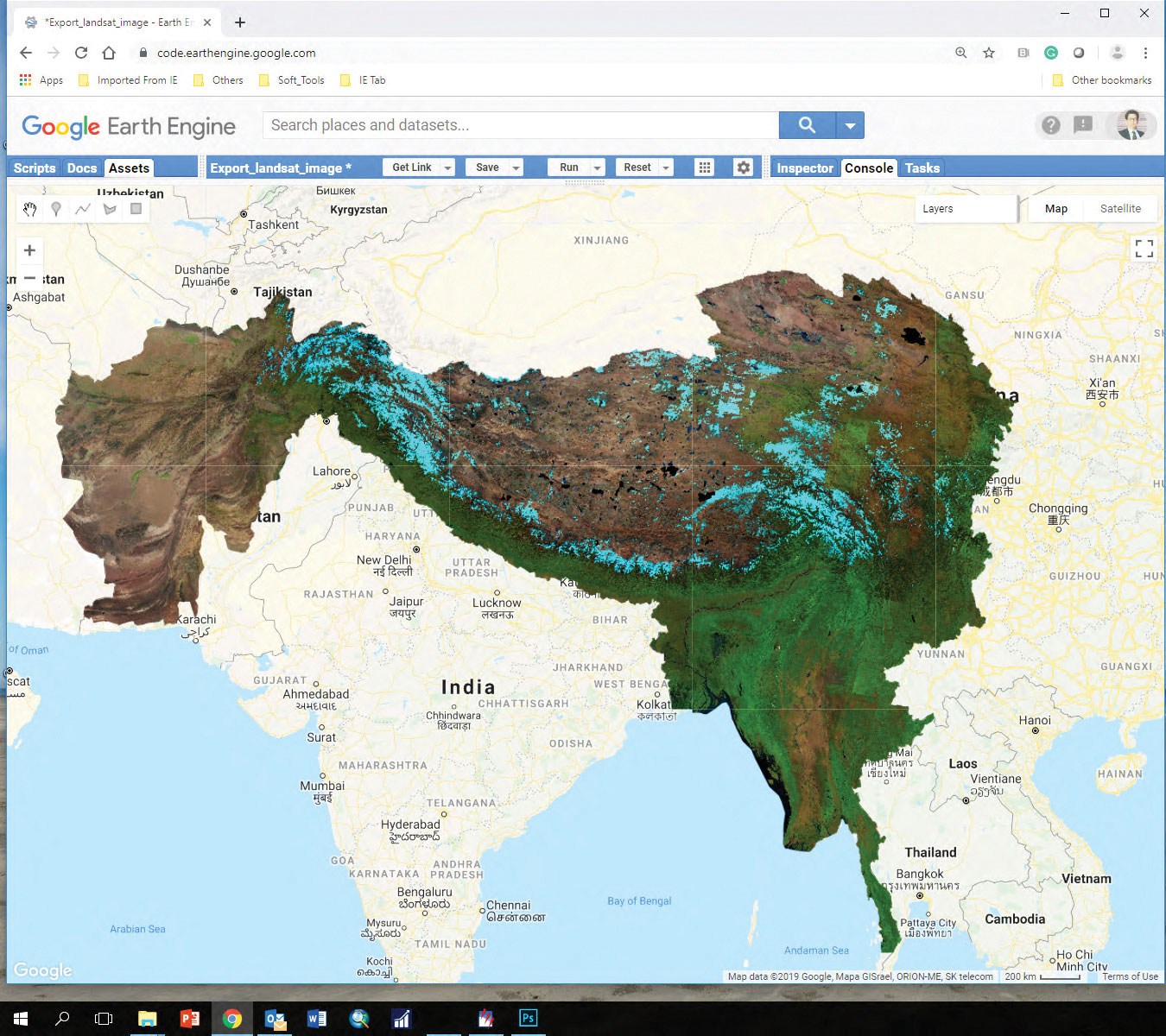
Mapping land cover The Regional Land Cover Monitoring System (RLCMS) addresses challenges in land management
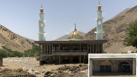
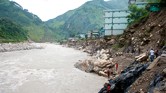
About In a case illustrative of effective inter-agency collaboration and resource sharing, the flash flood
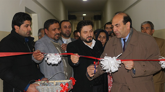
Kabul University, the largest and oldest tertiary education institution in Afghanistan, inaugurated a new geographic
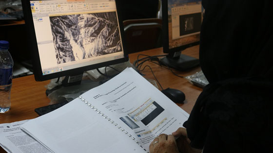
About Afghanistan, a landlocked country characterized by rugged mountainous landscapes and scattered human settlements, is
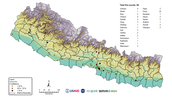
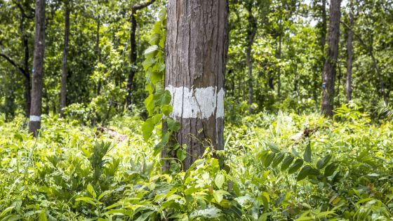
About Forest fires have adverse ecological and economic effects and are a major concern in
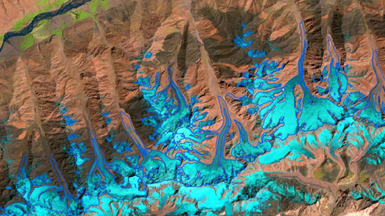
About Glaciers are a key indicator of climate change. Understanding past and present glacier behavior
About The integration of earth observation and geospatial information for timely and reliable data has
About Strengthening the capacity of satellite-based flood forecasting using near real time Jason-2 satellite altimeter
About Forest biomass is the sum of the above ground living organic material contained in
About Bangladesh is one of the world’s most vulnerable regions to floods, which kill and
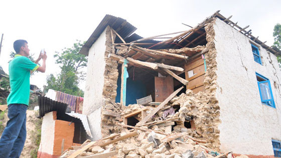
About Disaster reporting in Nepal is still paper based, which is time consuming and information
The community-based forest fire information system complements the efforts of ICIMOD to provide timely information