SERVIR-HKH is developing an agriculture advisory system and a food
SERVIR-HKH is monitoring annual forest and land cover at national
SERVIR-HKH is working on enhancing flood early warning information for
SERVIR-HKH are working to develop a suite of air quality
Demand-driven geospatial services using earth observations and climate data for resilient development.
Find the information you need by entering keywords below.
About Every year, the rainy season in the Chittagong Metropolitan Area (CMA), Bangladesh brings
About Over the years, the approach to natural disasters has changed from response and relief
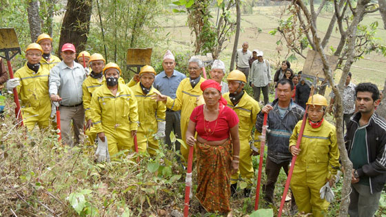
About The South Asian Forum for Environment (SAFE) intervention on forest fire, with support from ICIMOD’s
About In Bangladesh, where numerous tributaries from the Himalayas meet the Bay of Bengal, flooding
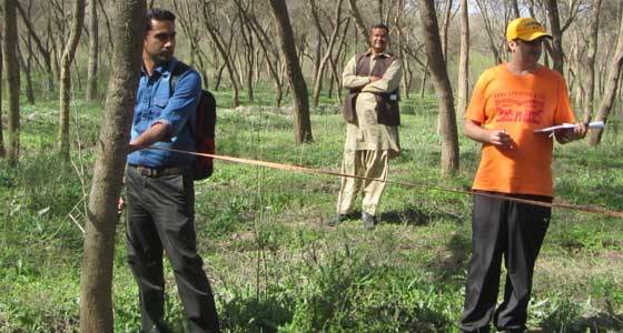
About The study of forest above-ground biomass (AGB) for estimating the carbon stock in each
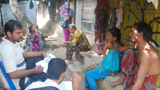
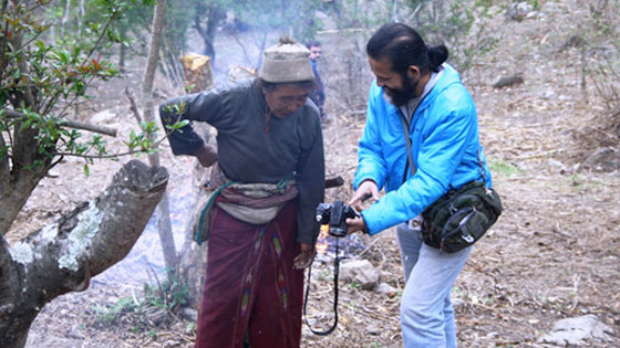
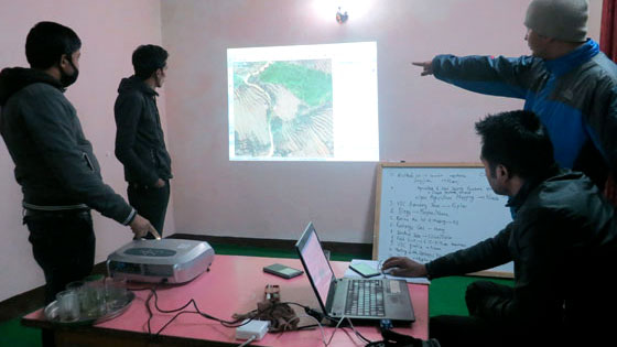
The project ‘Engaging Local Citizens to Map Environmental, Agriculture and Food Security Data’ explores the
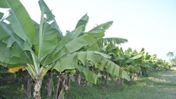
Using ecological niche modelling to guide farmers and the Government of Nepal. Banana is a
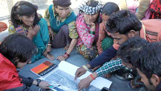
Community members from Pragati, Jamuna, and Jana Pragati community forests in the Kayar Khola watershed