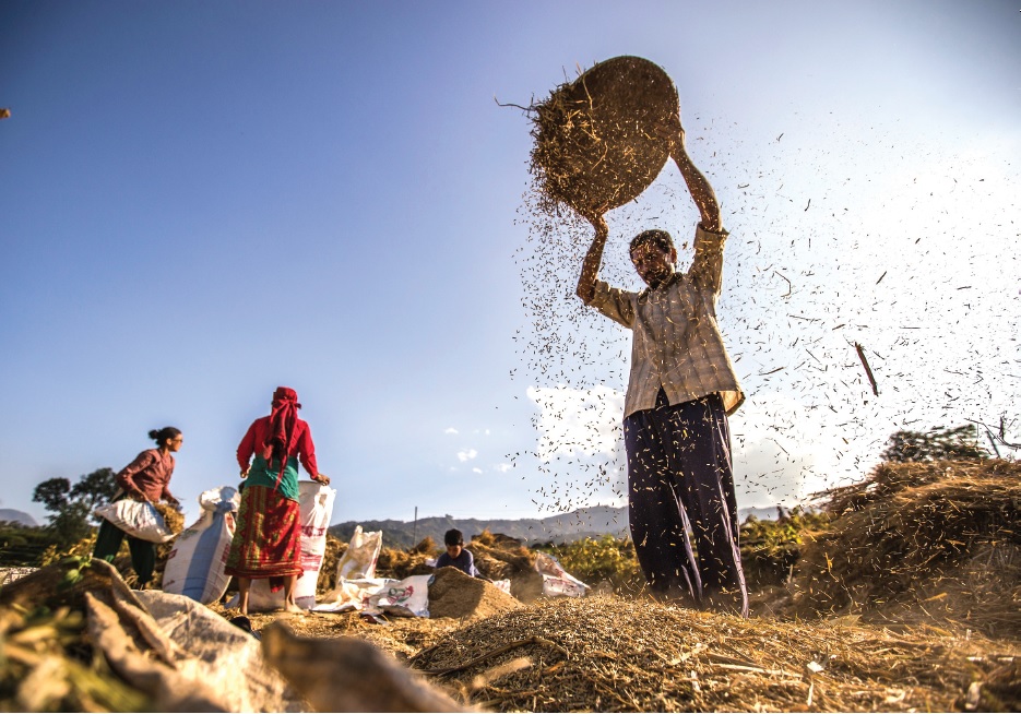
SERVIR-HKH is developing an agriculture advisory system and a food
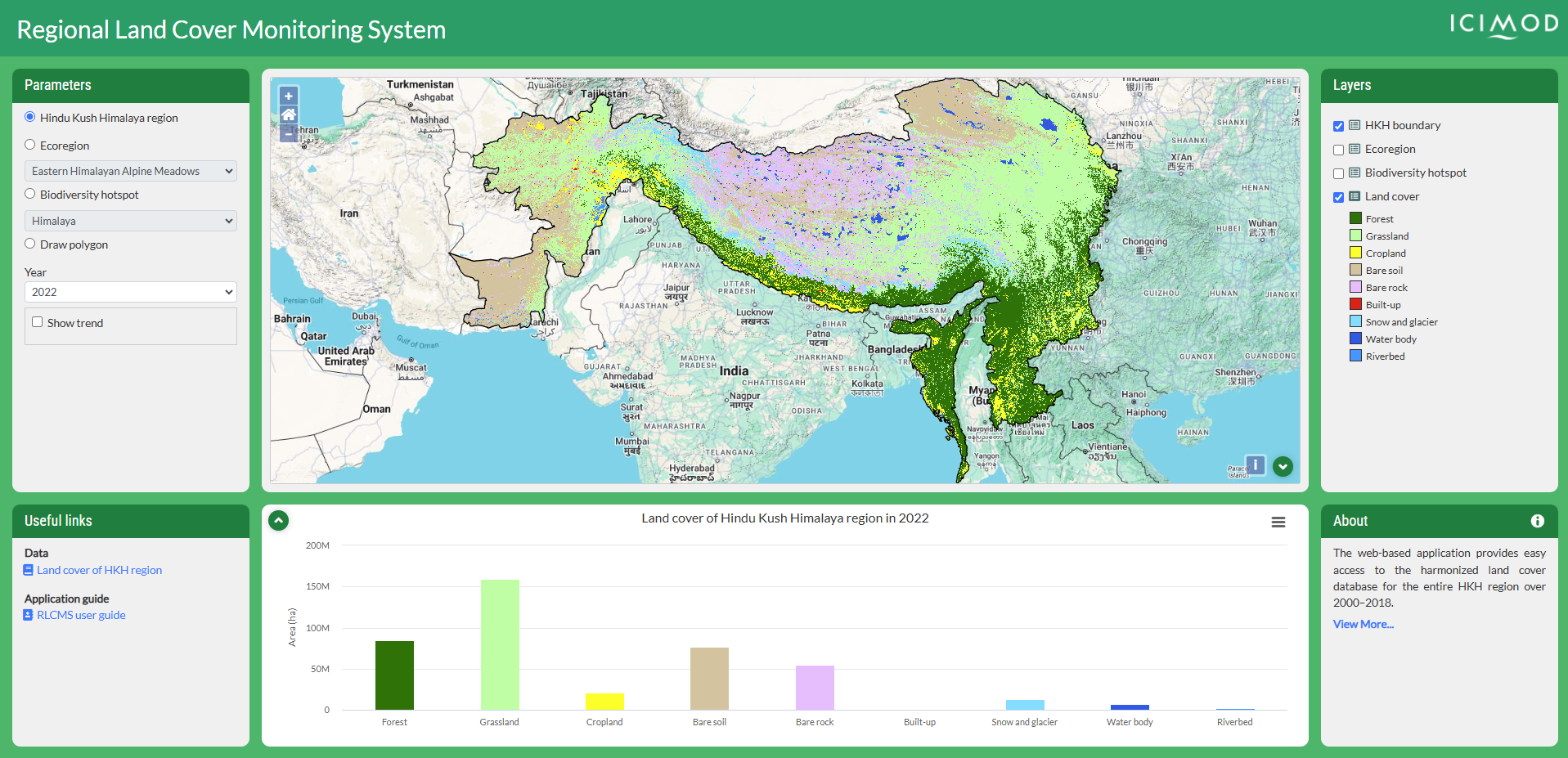
SERVIR-HKH is monitoring annual forest and land cover at national
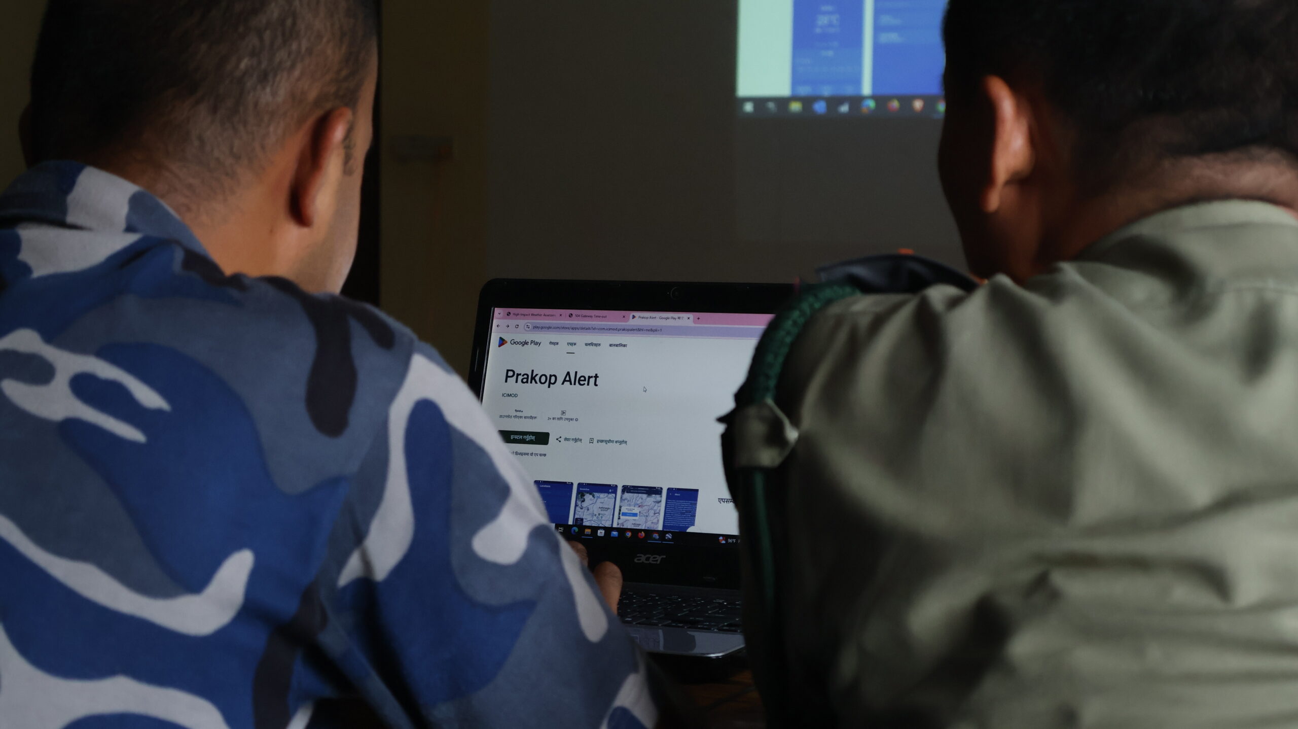
SERVIR-HKH is working on enhancing flood early warning information for
SERVIR-HKH are working to develop a suite of air quality
Demand-driven geospatial services using earth observations and climate data for resilient development.
Find the information you need by entering keywords below.
About The Monitoring Extreme Weather in the Hindu Kush Himalaya (HKH) service provides customized numerical
About Rationale The Hindu Kush Himalayan (HKH) region is extremely vulnerable to various types of
About The Regional Drought Monitoring and Outlook System (RDMOS) was developed in close collaboration with
About South Asia is one of the most water-scarce regions in the world. Droughts have
About the workshop ICIMOD is organising a week-long training on the digitisation of field data.
About Accurate and timely land cover data is essential for making informed land management decisions.
About Forests play a crucial role in providing sustainable livelihoods to large populations in the
About the training Download Agenda The Geographic Information System (GIS) and Statistics Unit of the
About The food security information system, a one-stop gateway, provides information on multiple food security
Organiser: MoALD in collaboration with ICIMOD About the training The GIS and Statistics Unit of
About the training The GIS and Statistics Unit of the Ministry of Agriculture and Livestock
About the meeting Nepal’s National Disaster Risk Reduction and Management Authority (NDDRMA) and ICIMOD have