SERVIR-HKH is developing an agriculture advisory system and a food
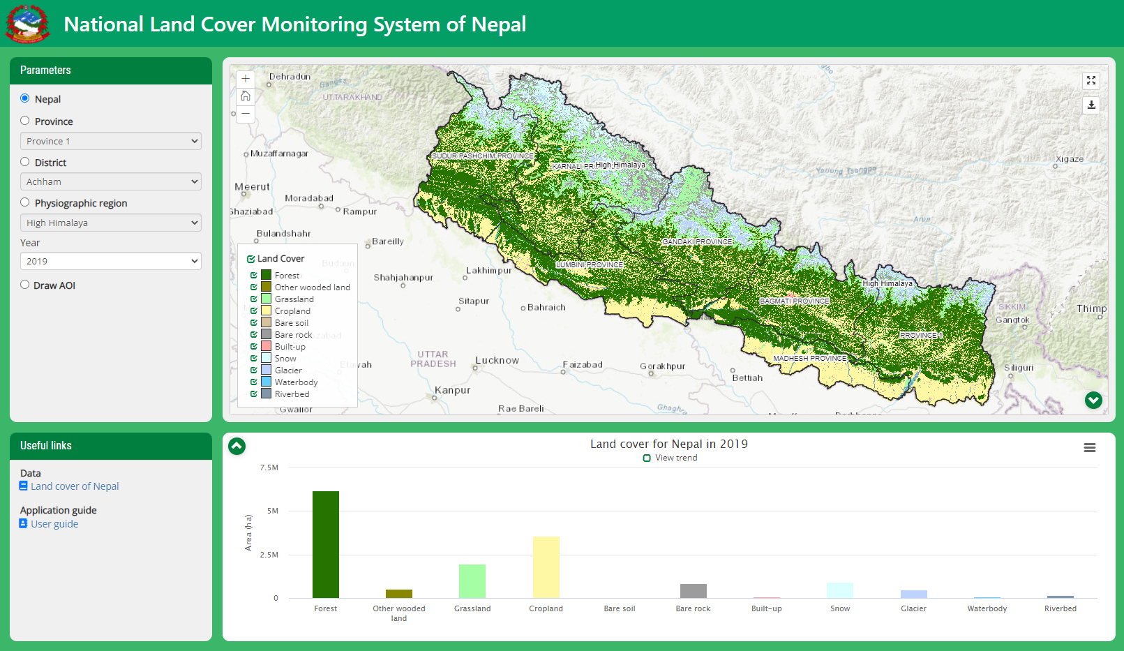
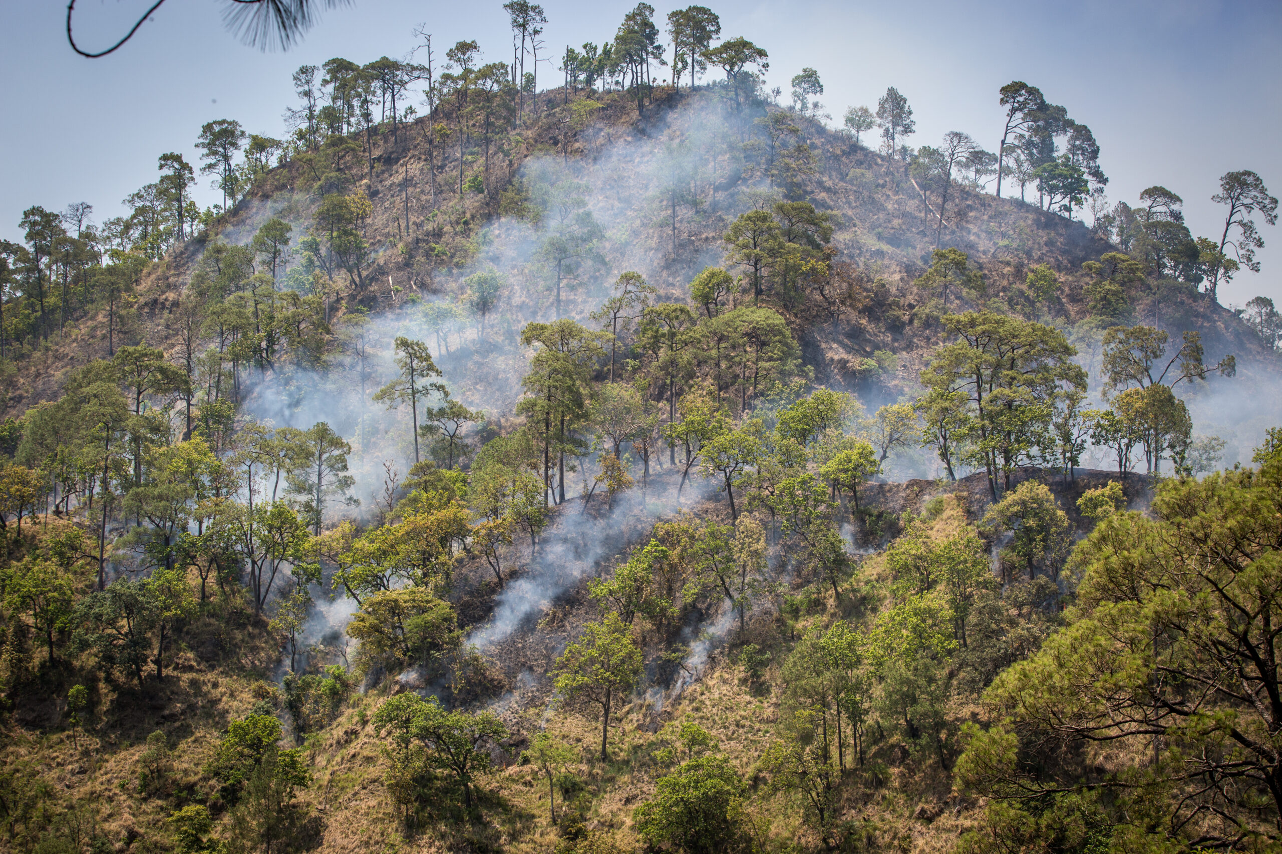
SERVIR-HKH is monitoring annual forest and land cover at national
SERVIR-HKH is working on enhancing flood early warning information for
SERVIR-HKH are working to develop a suite of air quality
Demand-driven geospatial services using earth observations and climate data for resilient development.
Find the information you need by entering keywords below.
About Nepal’s National Land Cover Monitoring System (NLCMS) was developed by the Forest Research and
About the training The SERVIR-HKH Initiative, a joint initiative of the International Centre for Integrated
About SERVIR HKH, with the technical support of Brigham Young University (BYU), developed three products as
About The Flash Flood Prediction Tool for Nepal provides 54-hour flash flood forecasts for 12,428
Agenda About the training The SERVIR-HKH project of the International Centre for Integrated Mountain Development
About Floods are a recurring event in the HKH region. Every year during the monsoon
About The Food Security Vulnerability Information System of Nepal enabled a diverse set of decision
Agenda About the training The International Centre for Integrated Mountain Development (ICIMOD), under the SERVIR-HKH
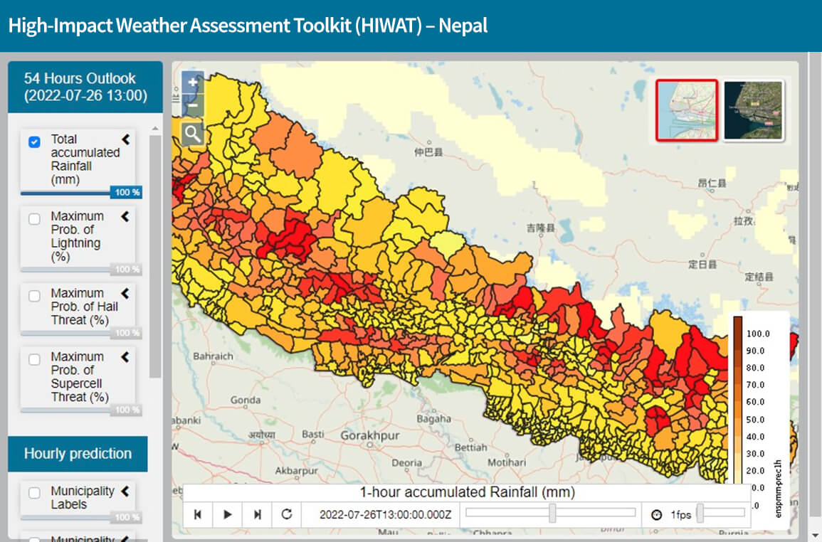
About The High-Impact Weather Assessment Toolkit (HIWAT) for Nepal uses a mesoscale numerical weather prediction
About Air pollution poses a significant environmental and public health threat in the HKH region
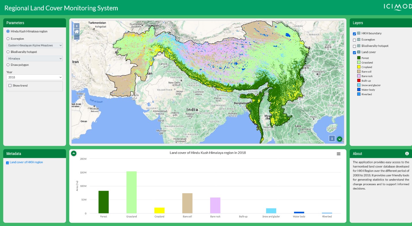
About The Regional Land Cover Monitoring System (RLCMS) for the Hindu Kush Himalaya (HKH) region
About The Monitoring Extreme Weather in the Hindu Kush Himalaya (HKH) service provides customized numerical