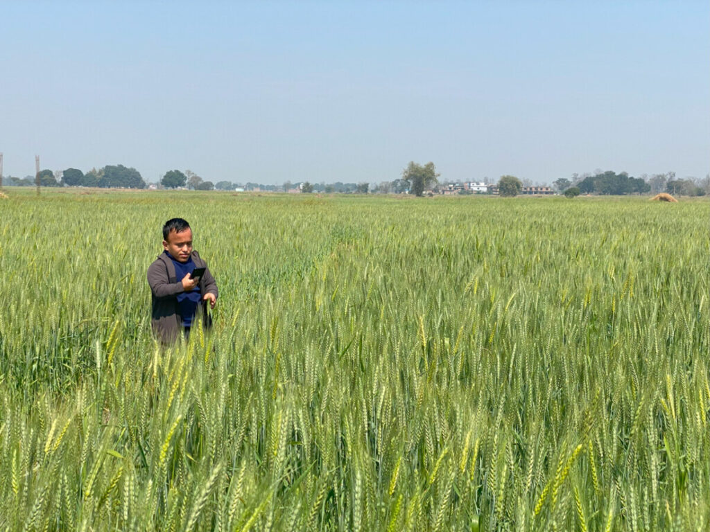
SERVIR-HKH is developing an agriculture advisory system and a food
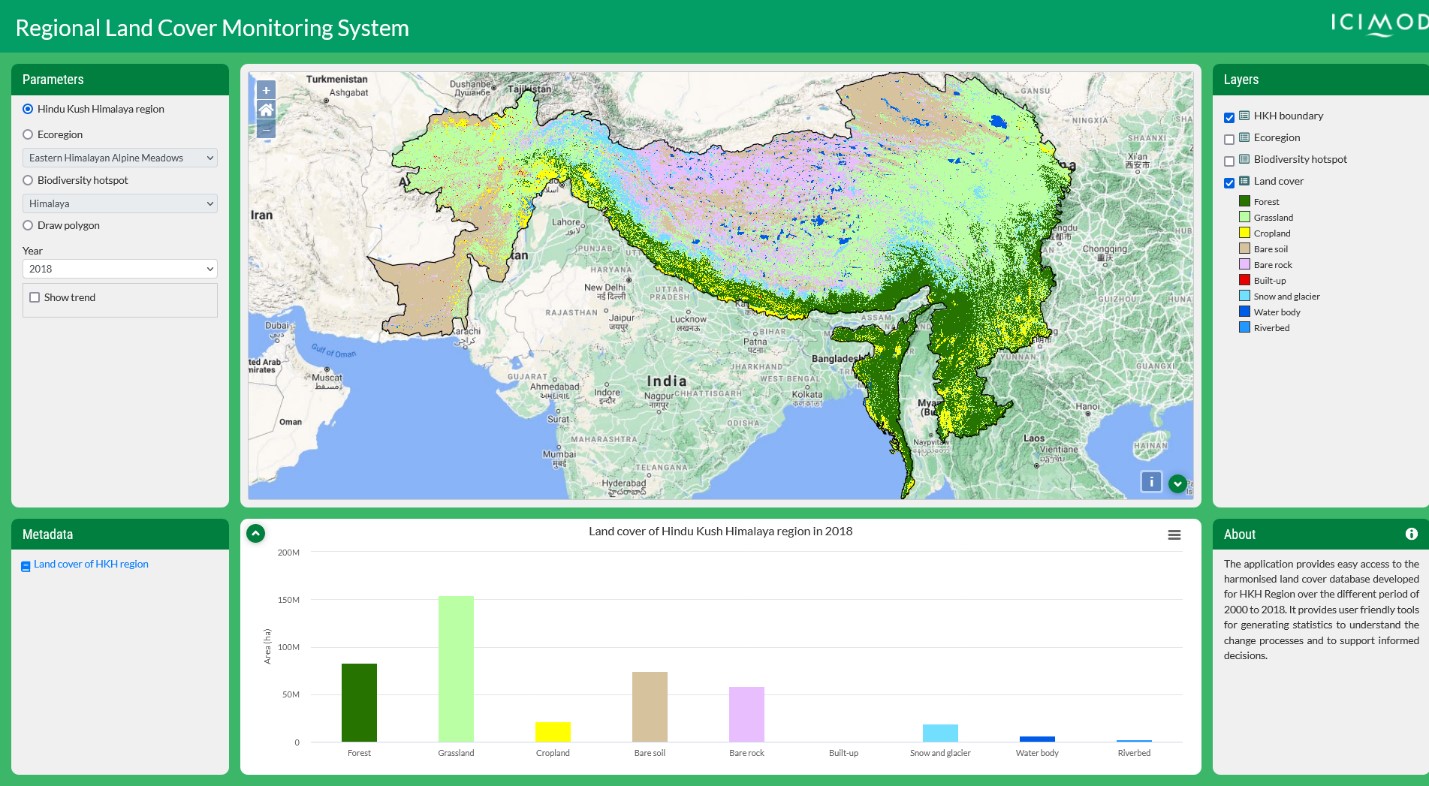
SERVIR-HKH is monitoring annual forest and land cover at national
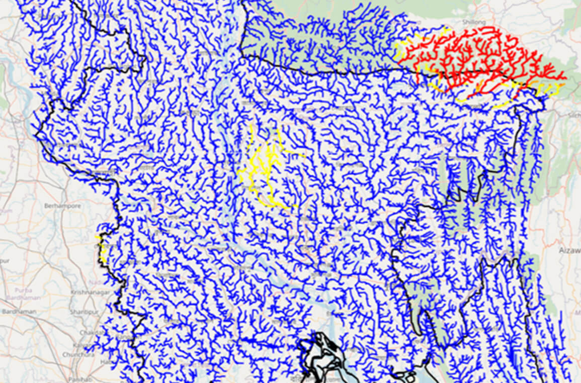
SERVIR-HKH is working on enhancing flood early warning information for
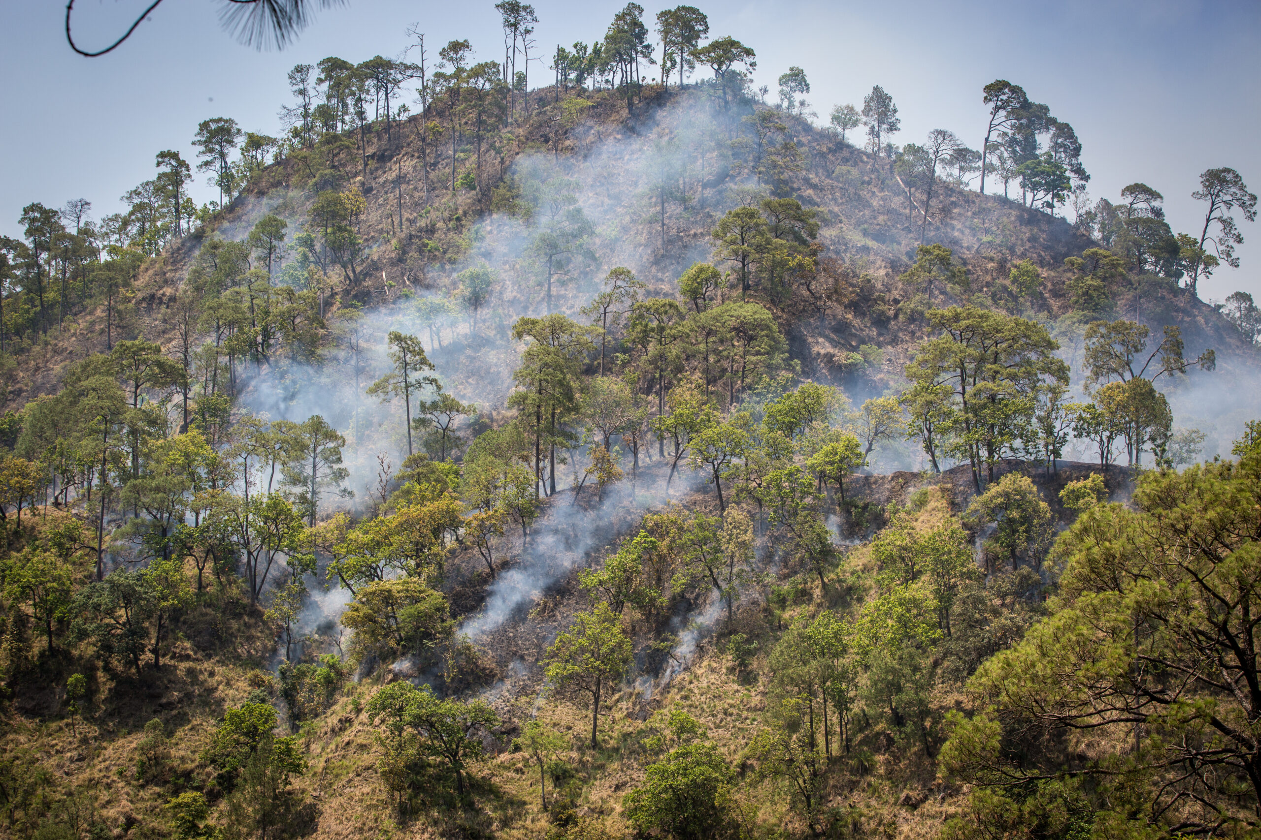
SERVIR-HKH are working to develop a suite of air quality
Demand-driven geospatial services using earth observations and climate data for resilient development.
Find the information you need by entering keywords below.
About In Bangladesh, where numerous tributaries from the Himalayas meet the Bay of Bengal, flooding
About Every year, the rainy season in the Chittagong Metropolitan Area (CMA), Bangladesh brings
About Bangladesh is one of the world’s most vulnerable regions to floods, which kill and
About Strengthening the capacity of satellite-based flood forecasting using near real time Jason-2 satellite altimeter
ICIMOD is developing an integrated information platform linking weather and climate data with agriculture practices
About The High-Impact Weather Assessment Toolkit (HIWAT) for Bangladesh uses a mesoscale numerical weather prediction
About Agriculture production in the Hindu Kush Himalayas (HKH) is highly susceptible to climate variability
About SERVIR HKH, with the technical support of Brigham Young University (BYU), developed three products as
About Floods are a recurring event in the HKH region. Every year during the monsoon
About The Flash Flood Prediction Tool for Bangladesh provides 54-hour flash flood forecasts for 10,049
About Air pollution poses a significant environmental and public health threat in the HKH region
About The Regional Land Cover Monitoring System (RLCMS) for the Hindu Kush Himalaya (HKH) region