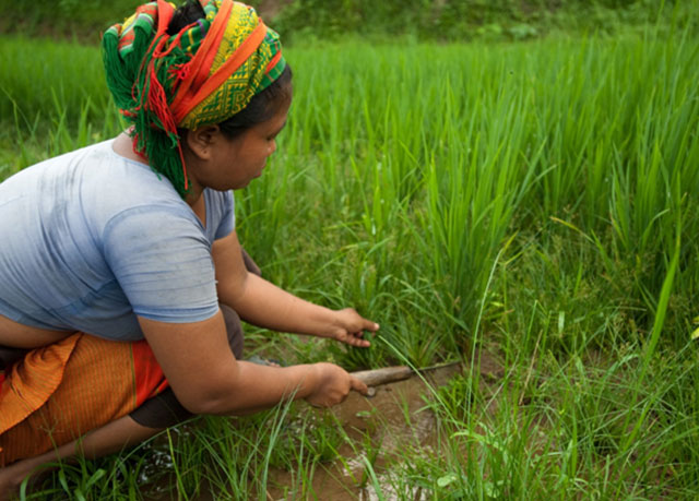
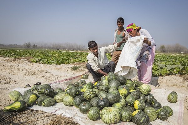
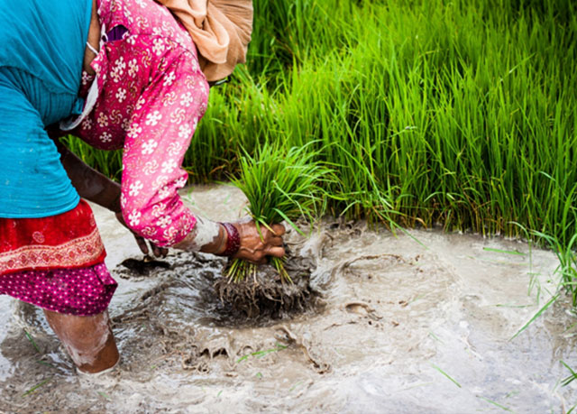
SERVIR-HKH is developing an agriculture advisory system and a food
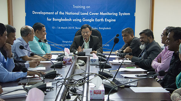
SERVIR-HKH is monitoring annual forest and land cover at national
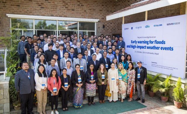
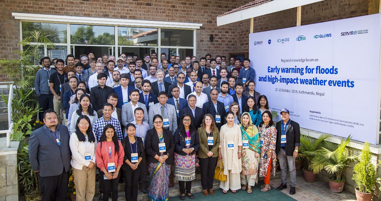
SERVIR-HKH is working on enhancing flood early warning information for
SERVIR-HKH are working to develop a suite of air quality
Demand-driven geospatial services using earth observations and climate data for resilient development.
Find the information you need by entering keywords below.
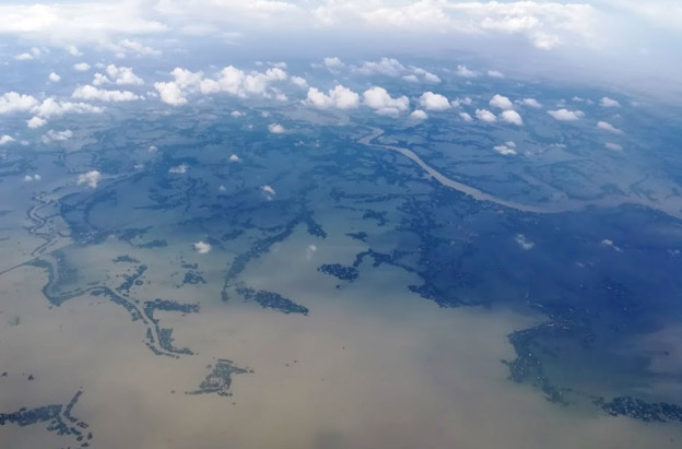
An aerial image of typical flood inundation in Bangladesh. The murky waters reflect flood inundation
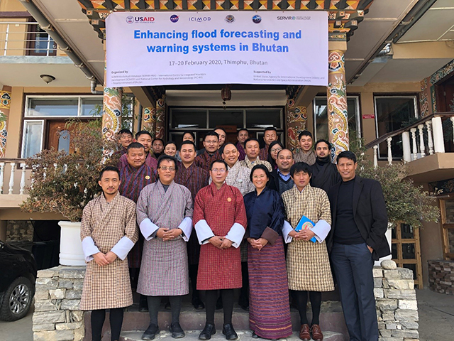
About ICIMOD resource persons and participants to the training workshop on enhancing flood forecasting and
About When my supervisor asked me if I wanted to work on a project that
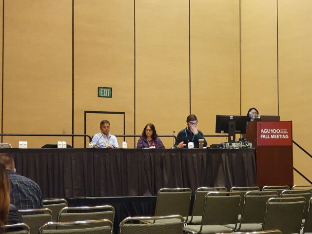
About Attending the American Geophysical Union (AGU) is a huge opportunity for a geospatial scientist.
About The Hindu Kush Himalayan (HKH) region is no stranger to water- and weather-induced hazards.
About After Afghanistan, Nepal, and Pakistan, the Regional Drought Monitoring and Outlook System for South
About Droughts do not harm immediately. Their impact on lives and productive assets is gradual,
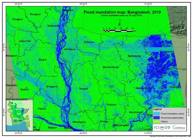
Millions have been displaced and more than 130 people killed in Bangladesh, India, and Nepal
About New paradigms in Earth observation (EO) science and advancements in geospatial information technology (GIT)–enhanced
About This blog was first published as a blog in agrilinks.org Faisal Mueen Qamer, Remote
The Bangladesh Forest Department (BFD) analyzes and uses land cover data for the national forest