SERVIR-HKH is developing an agriculture advisory system and a food
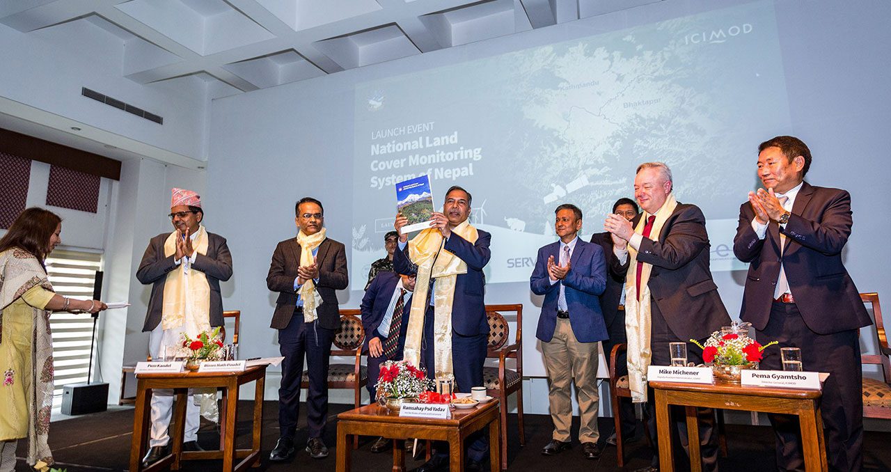
SERVIR-HKH is monitoring annual forest and land cover at national
SERVIR-HKH is working on enhancing flood early warning information for
SERVIR-HKH are working to develop a suite of air quality
Demand-driven geospatial services using earth observations and climate data for resilient development.
Find the information you need by entering keywords below.
About This article first appeared on The Daily Sun on 18 November 2022 and is
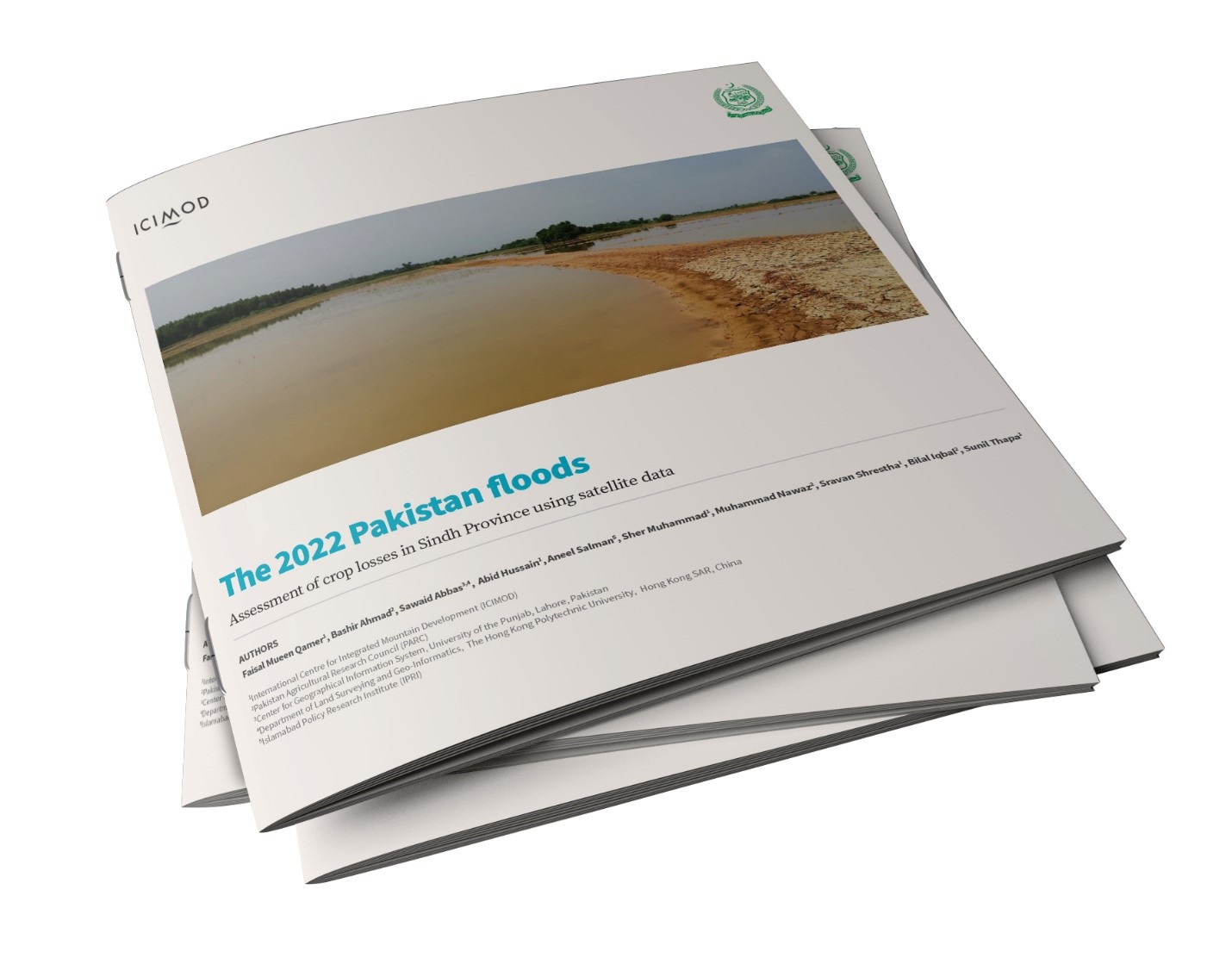
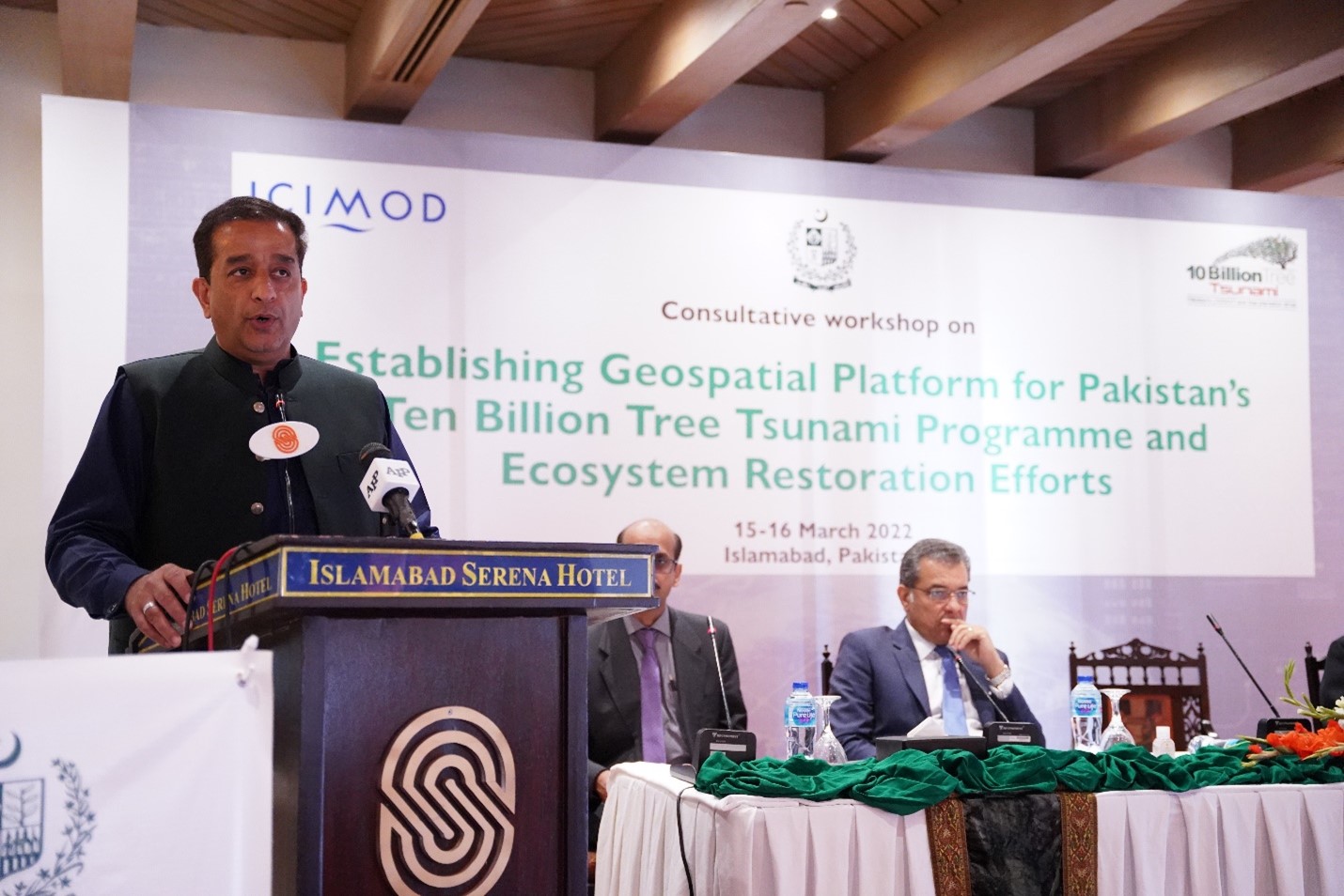
About The impact of the 2022 floods on Pakistan’s rural communities and agriculture has been
About Kathmandu, 22 April: The Forest Research and Training Centre (FRTC) is pleased to announce
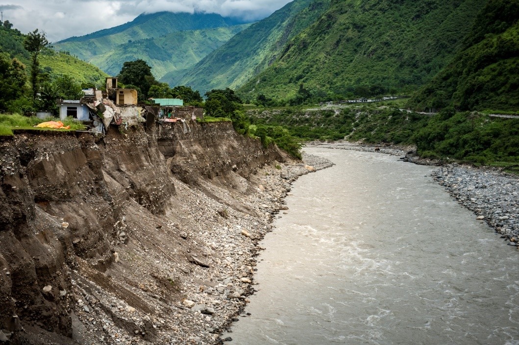
About Assessment of floods in Nepal in October 2021, which affected seed availability, gives clues
About As storehouses for carbon, forests need to be conserved in order for effective climate
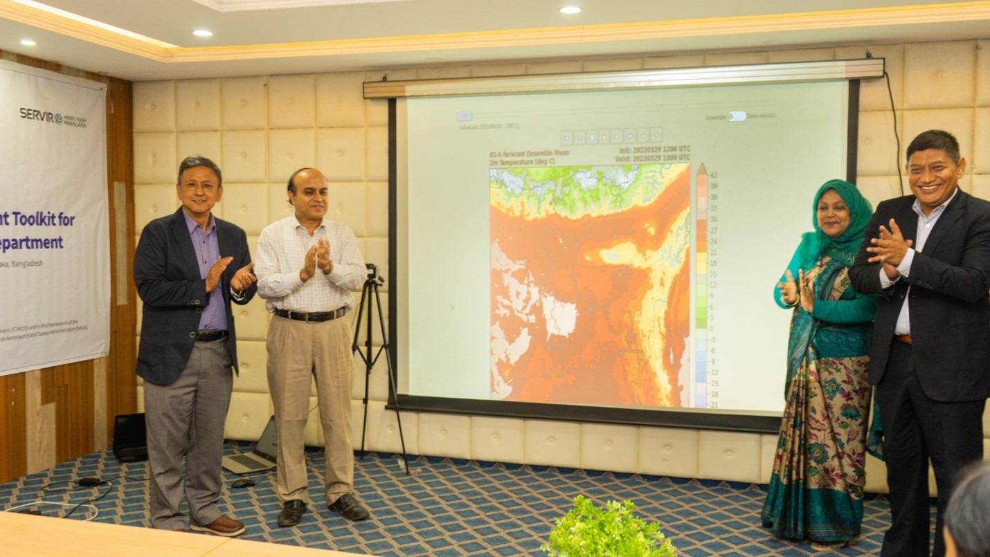
Bangladesh’s Flood Forecasting and Warning Centre (FFWC), under the Bangladesh Water Development Board (BWDB), shoulders
About The cryosphere – snow, ice, and permafrost – is an important source of water
About On 30 March 2022, the Bangladesh Meteorological Department (BMD) launched the High-Impact Weather Assessment
About The world, nature, human beings and the animal kingdom are the most beautiful and
About We partnered with the Ministry of Climate Change (MoCC), Government of Pakistan, for a
About This blog was first published on ClimateLinks on 2 February 2022 and is available
About Earth observation (EO) and geospatial information technology (GIT) are steadily making inroads across major