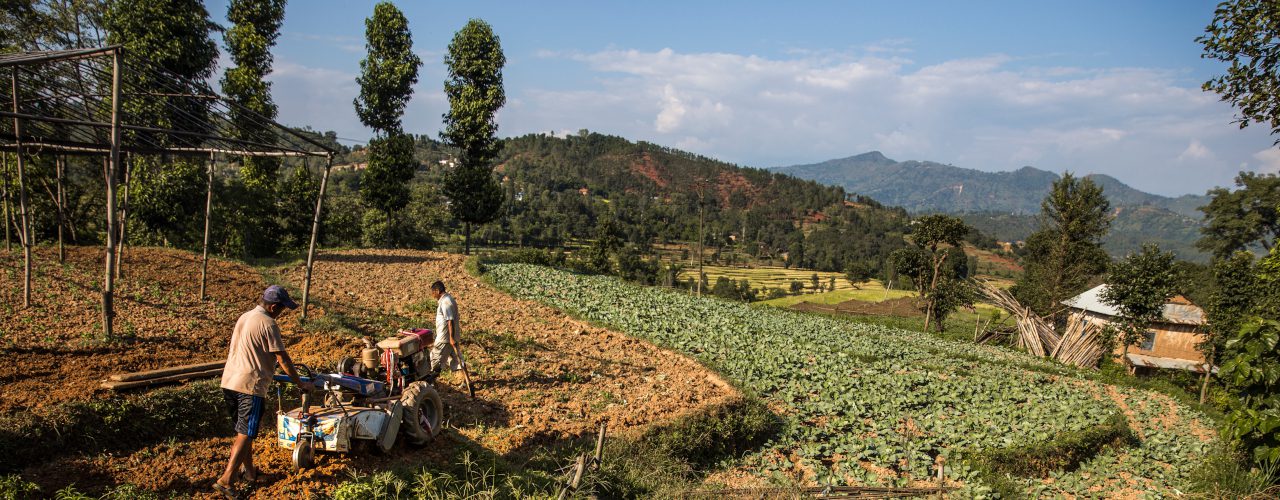
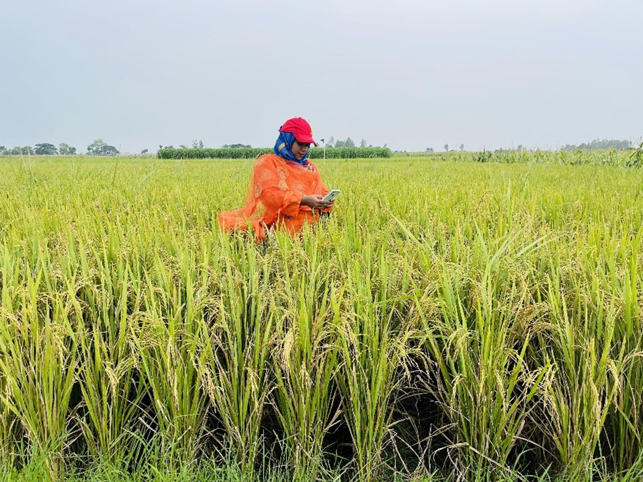
SERVIR-HKH is developing an agriculture advisory system and a food
SERVIR-HKH is monitoring annual forest and land cover at national
SERVIR-HKH is working on enhancing flood early warning information for
SERVIR-HKH are working to develop a suite of air quality
Demand-driven geospatial services using earth observations and climate data for resilient development.
Find the information you need by entering keywords below.
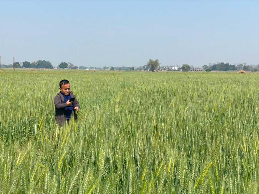
About Machine learning-based agricultural assessment helps reduce knowledge gaps for better-informed policy decisions in Nepal.
About The International Centre for Integrated Mountain Development (ICIMOD), in collaboration with the Nepal Red
About The Hindu Kush Himalaya is one of the most fragile and hazard-prone mountain regions
About In the ever-changing landscape of weather forecasting, precise and reliable predictions are essential, especially
About Increasing forest fires have worsened the air quality across the Hindu Kush Himalaya (HKH)
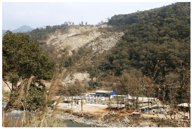
About Every year, the western region of Nepal faces the wrath of the Karnali River.
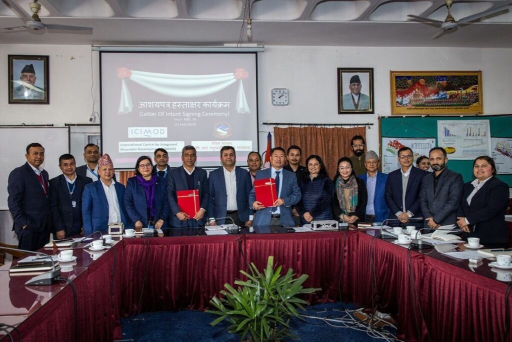
About We have awarded grants to four institutions to implement projects in Nepal and Pakistan
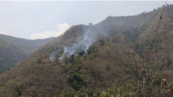
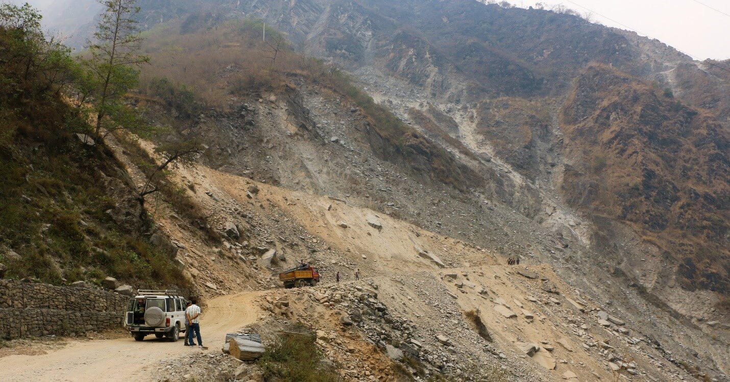
About Nepal faces a double whammy of floods and landslides every year. Often considered a