SERVIR-HKH is developing an agriculture advisory system and a food
SERVIR-HKH is monitoring annual forest and land cover at national
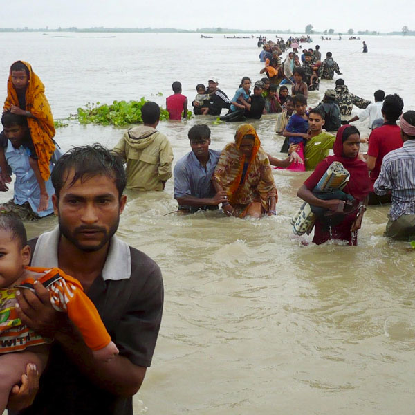
SERVIR-HKH is working on enhancing flood early warning information for
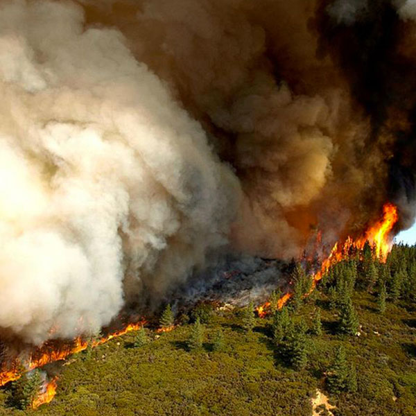
SERVIR-HKH are working to develop a suite of air quality
Demand-driven geospatial services using earth observations and climate data for resilient development.
Find the information you need by entering keywords below.
About About the event We are collaborating with the Nepal Red Cross Society (NRCS) to
About The Reducing Emissions from Deforestation and Degradation (REDD) mechanism offers a very promising approach
About About the event The Government of Nepal’s Ministry of Agriculture and Livestock Development (MoALD)
About Disaster loss data are helpful in understanding the cost and impact of disaster events,
About Forest fires have adverse ecological and economic impacts and are a significant concern in
About Food security is emerging as a concern in the Himalayas, with changes in weather
About the workshop We are organising a production workshop focused on the technology transfer and
We invite our partners and alumni to the virtual launch of our book – Earth
Background Frequent transformative developments in the fields of Earth observation (EO) and geospatial information technology
Background Reducing emissions from deforestation and forest degradation in developing countries (REDD+) is an approach
Background The UN Sustainable Development Goal 2 (“zero hunger”) aims to end hunger, achieve food