SERVIR-HKH is developing an agriculture advisory system and a food
SERVIR-HKH is monitoring annual forest and land cover at national
SERVIR-HKH is working on enhancing flood early warning information for
SERVIR-HKH are working to develop a suite of air quality
Demand-driven geospatial services using earth observations and climate data for resilient development.
Find the information you need by entering keywords below.
About This piece was first published on appliedsciences.nasa.gov on 27 October 2022. In the Hindu
About The International Centre for Integrated Mountain Development (ICIMOD), in collaboration with the Nepal Red
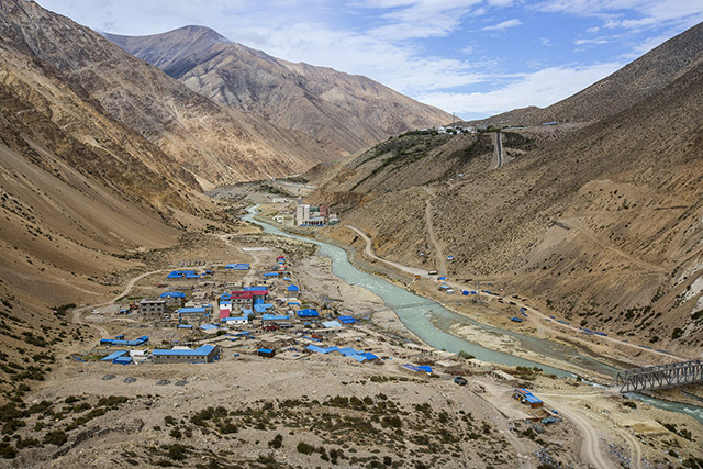
About The Hindu Kush Himalaya is one of the most fragile and hazard-prone mountain regions
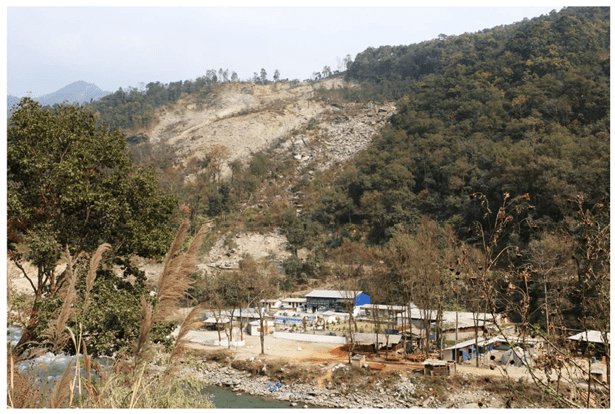
About On Saturday 5 May 2012, flash flooding in the Kaski district of northwestern Nepal
About As HKH countries face greater threats from climate change, satellites can be enormously useful
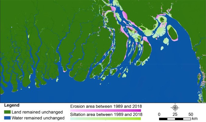
About Bangladesh is one of the most densely populated countries in the world – almost
About Every monsoon, the meandering Karnali River swells, erodes rivers banks, and carries away arable
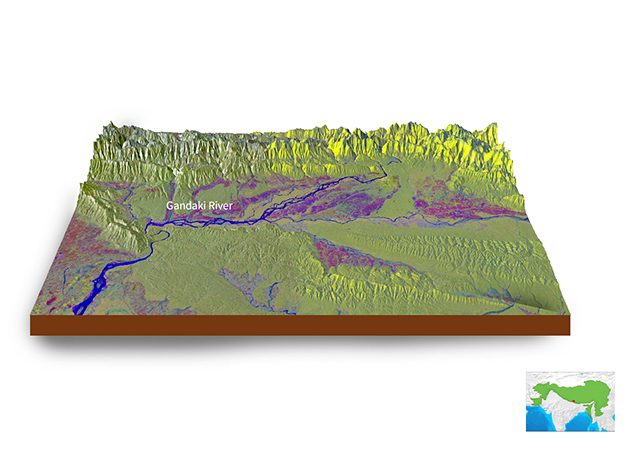
About An RGB representation (VH as a red band, VH as a green band, and
About This blog was first published in Climate Links on 2 December 2020. Resource