
Featured tools
Geofairy delivers geospatial information of your interested locations. It is a one stop shop for information about weather, soil and air quality. Geofairy also has a ci ...

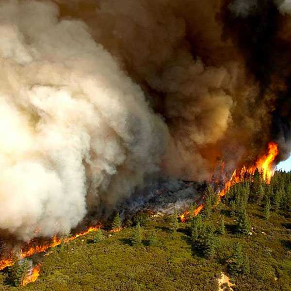
About Forest fire is a big concern in many countries including Bhutan due to its adverse ecological and economic effects. A need for reliable and time effective informa ...
Regions:
Bhutan

About Considering the impacts of global climate change on forest ecosystems and dependence of humans on the forests, there is an evident need for understanding the clim ...
Regions:
Nepal

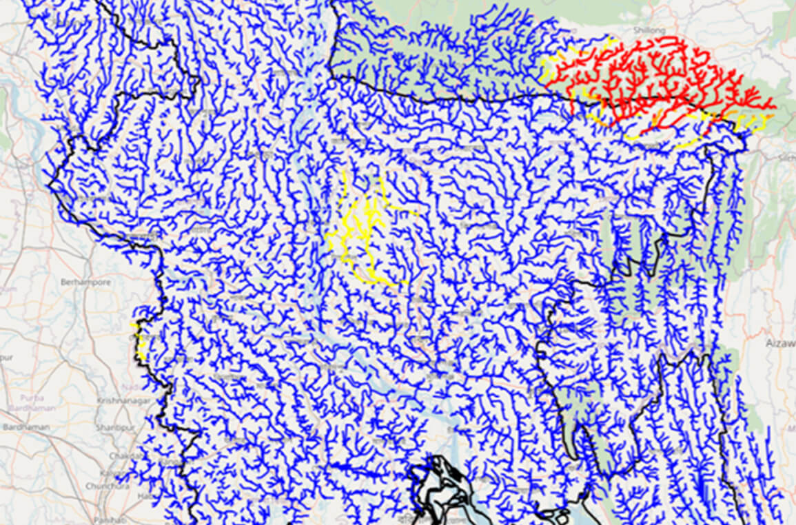
About The Flash Flood Prediction Tool for Bangladesh provides 54-hour flash flood forecasts for 10,049 river segments in Bangladesh. The tool provides predicted estimat ...
Regions:
Bangladesh
About Forest fires have adverse ecological and economic impacts and are a significant concern in many countries. In Nepal, forest fires damage more than 30 districts. A ...
Regions:
Nepal
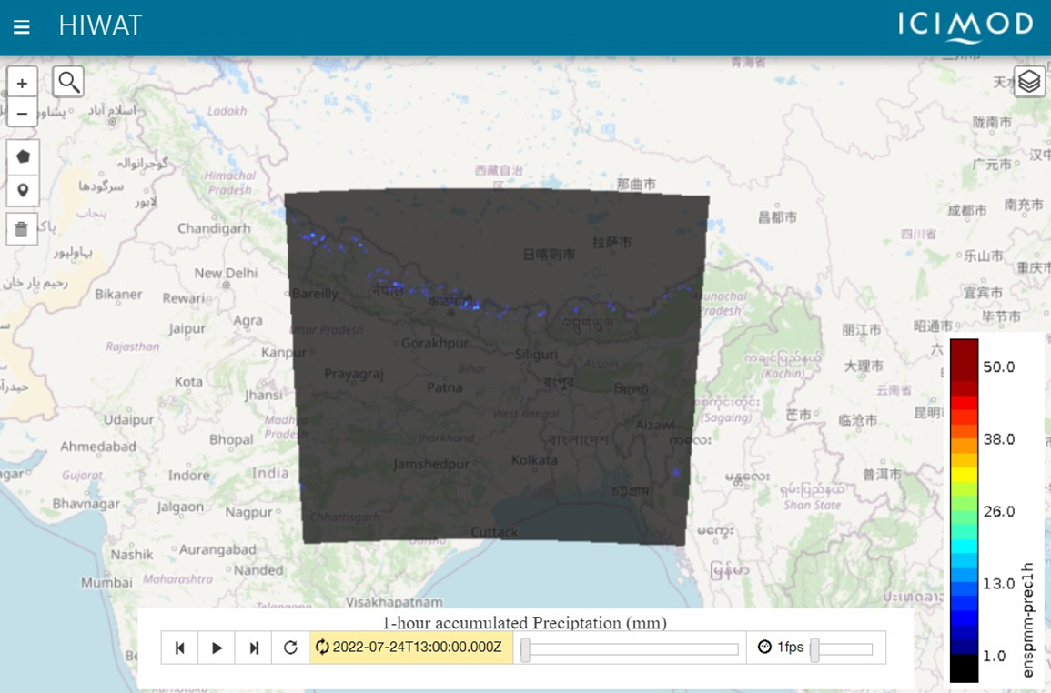
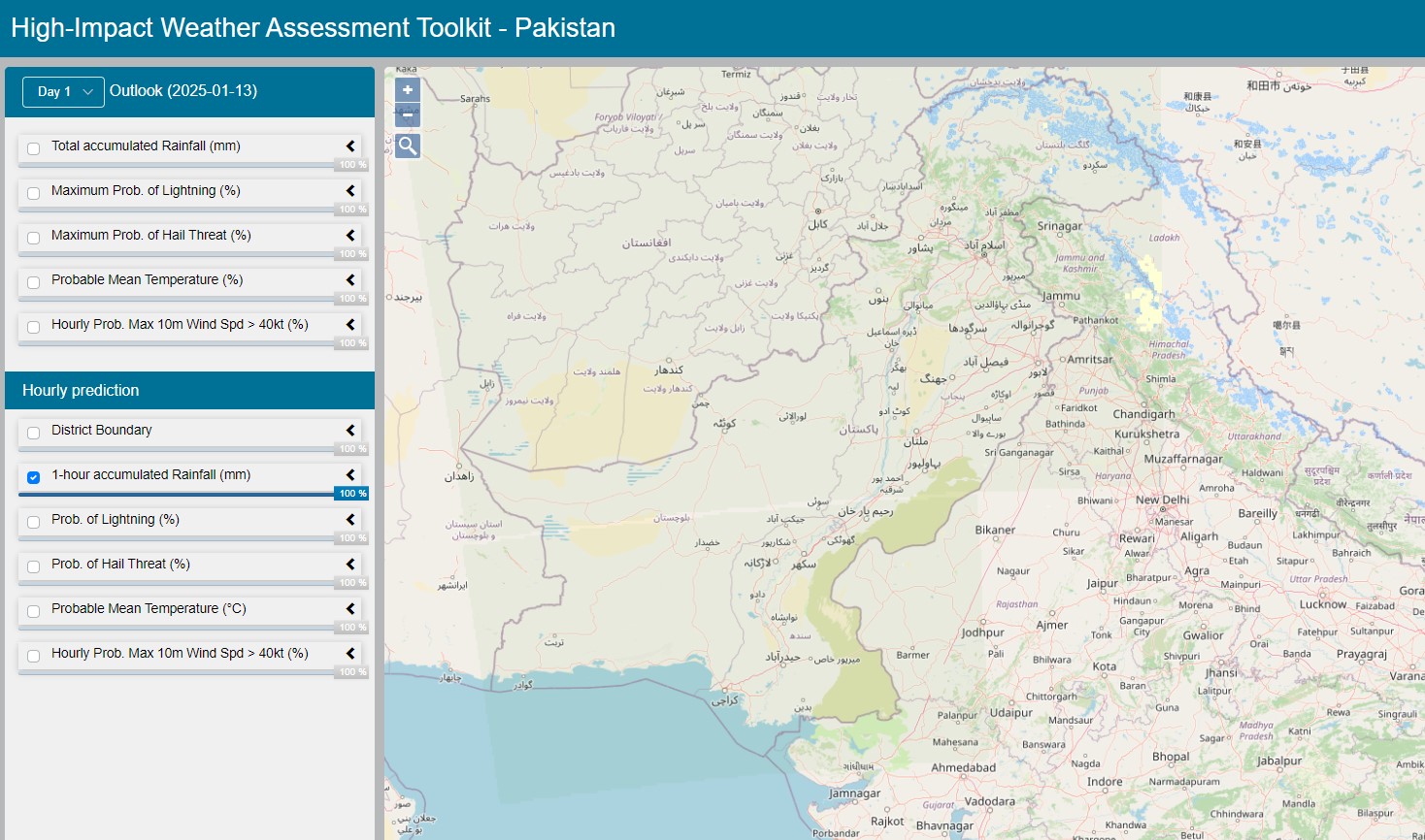
About The High-Impact Weather Assessment Toolkit (HIWAT) uses a mesoscale numerical weather prediction model and the Global Precipitation Measurement (GPM) constellatio ...
Regions:
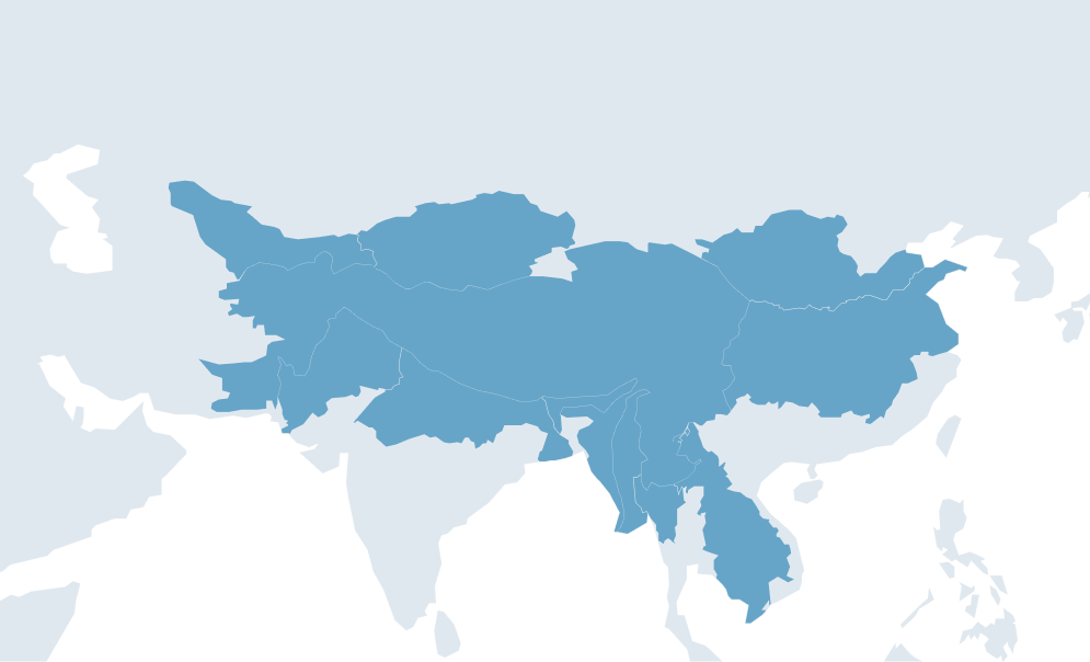
Regional
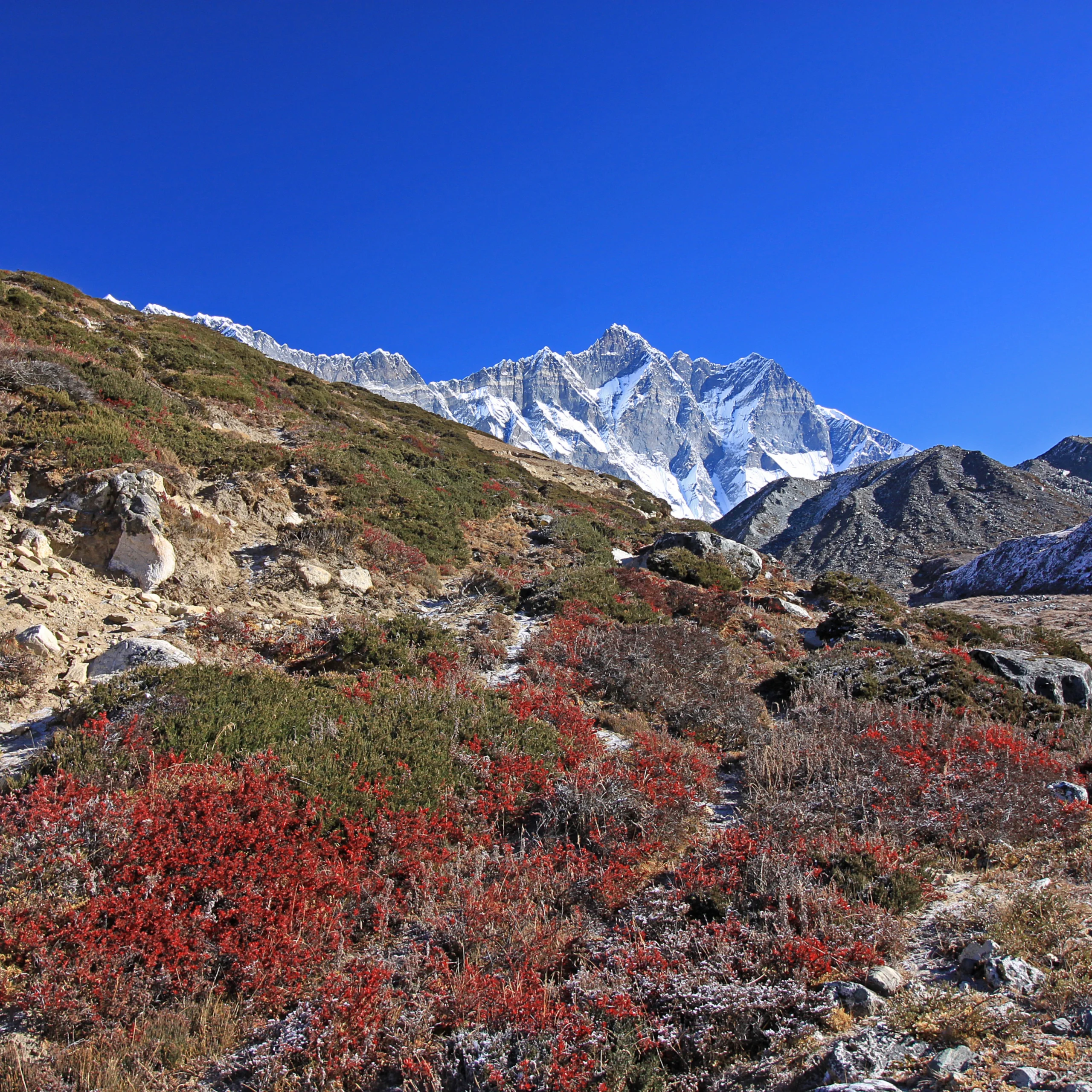
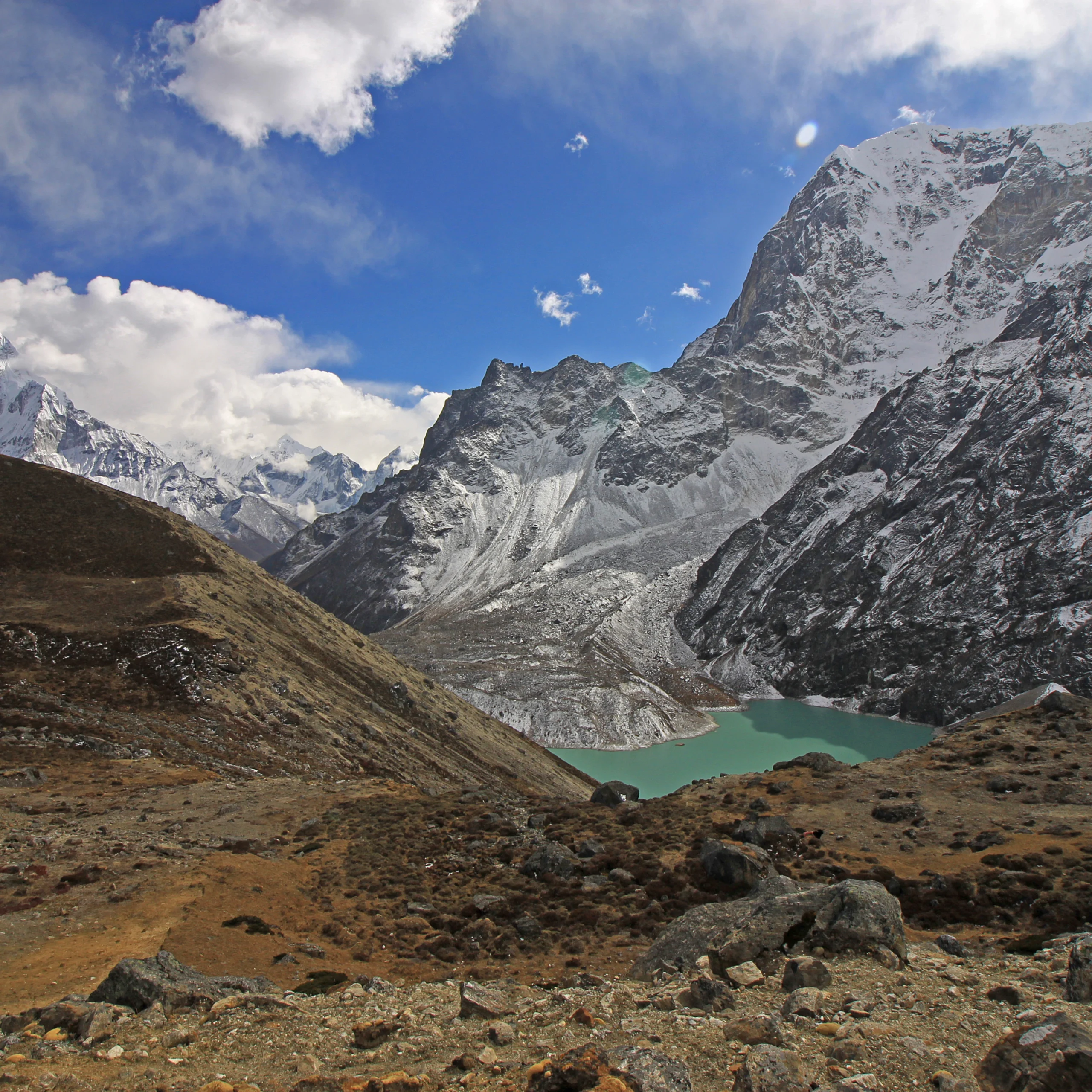
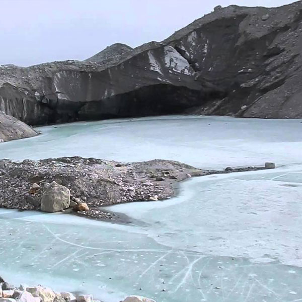
About The comprehensive baseline information on the glaciers of the entire Hindu Kush Himalayan (HKH) region have been organized by major basins and sub-basins. The app ...
Regions:
Regional
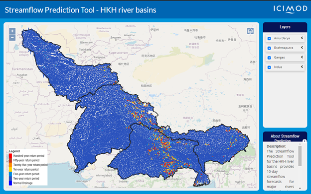
About The Streamflow Prediction Tool for the HKH river basins provides 10-day streamflow forecasts for major rivers within the Amu Darya, Brahmaputra, Ganges, and Indus ...
Regions:
Nepal, Regional, Bangladesh, Bhutan
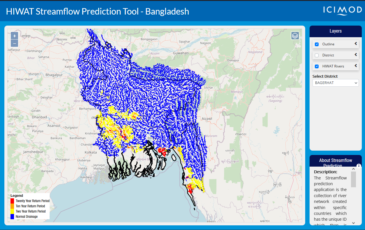
About The High-Impact Weather Assessment Toolkit (HIWAT) Streamflow Prediction Tool for Bangladesh provides 54-hour flash flood forecasts for 10,049 river segments in B ...
Regions:
Bangladesh
Our service areas
Our demand-driven geospatial services use Earth observations and climate data to support decision making and climate resilient development.