
Featured tools
About –ICIMOD is developing an integrated information platform linking weather and climate data with agriculture practices in the region. The platform provides data a ...
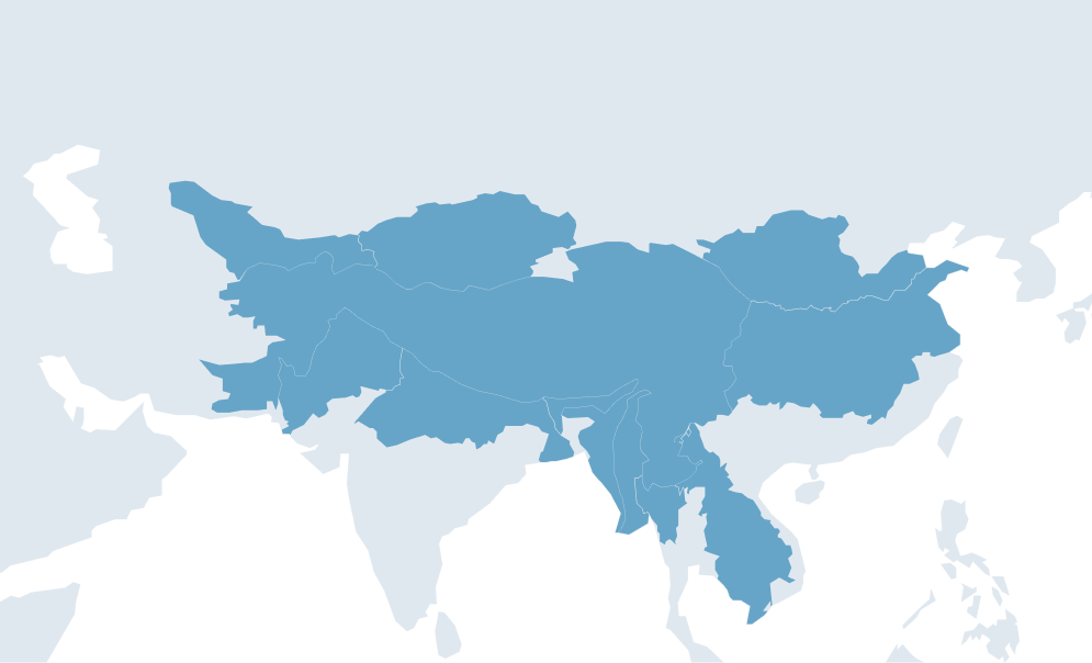
Regions:
Nepal

About The Agriculture Information Portal (AIP) provides a gateway to geo-information data and application tools. The AIP facilitates the sharing of spatial and non-spat ...
Regions:
Afghanistan

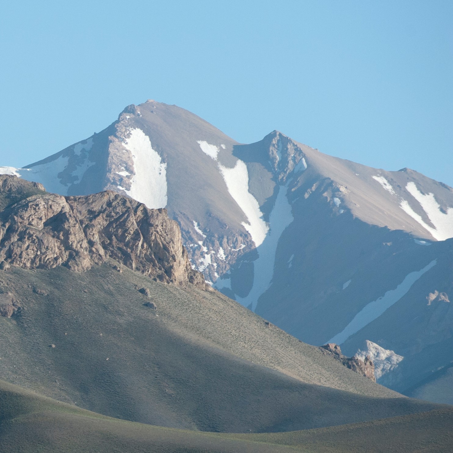
About A glacier study carried out by the International Centre for Integrated Mountain Development (ICIMOD) and the Ministry of Energy and Water (MEW) in Afghanistan, un ...
Regions:
Afghanistan
About MODIS having the high temporal resolution covering entire Hindu-Kush Himalayan (HKH) region can be used for many science applications such as satellite base near ...
Regions:
Regional


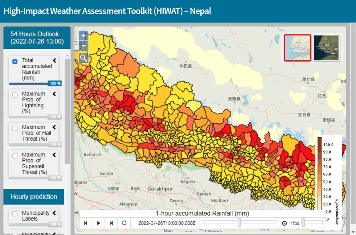
About The High-Impact Weather Assessment Toolkit (HIWAT) for Nepal uses a mesoscale numerical weather prediction model and the Global Precipitation Measurement (GPM) co ...
Regions:
Nepal
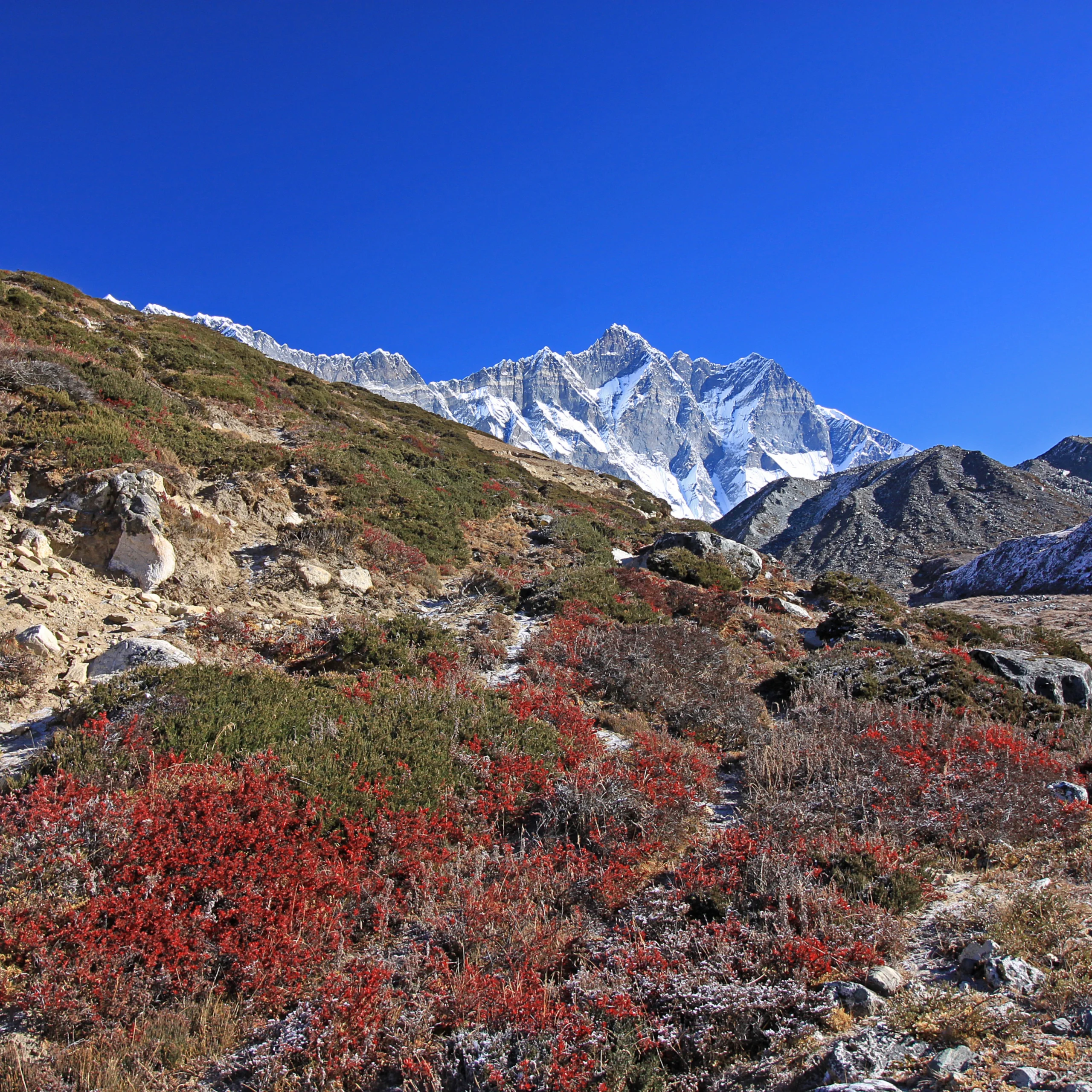
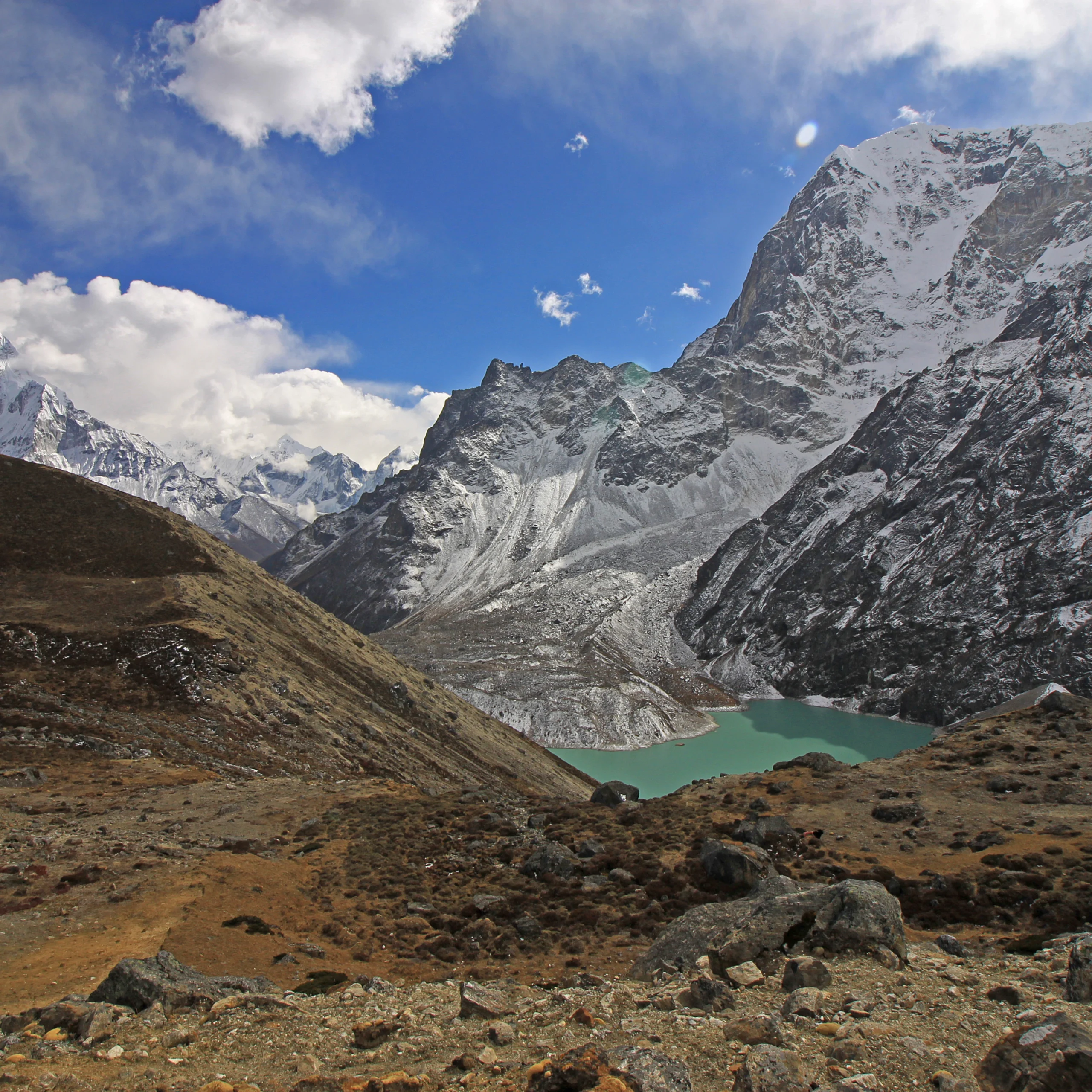
About Snow constitutes an important component of the cryosphere and is characterised by high inter-annual, intra-annual, and seasonal variability. Snowmelt makes a sign ...
Regions:
Regional
Geofairy delivers geospatial information of your interested locations. It is a one stop shop for information about weather, soil and air quality. Geofairy also has a ci ...

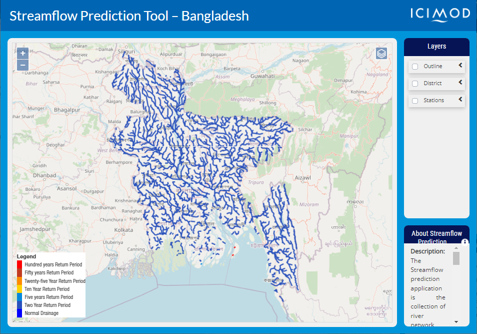
About The Streamflow Prediction Tool for Bangladesh provides 10-day forecasts for major river systems in Bangladesh. The Flood Forecasting and Warning Center (FFWC) use ...
Regions:
Bangladesh
About Spatially explicit and periodic biomass information is essential for various purposes including identification of sustainable biomass use patterns for livelihood ...
Regions:
Nepal

Our service areas
Our demand-driven geospatial services use Earth observations and climate data to support decision making and climate resilient development.