
Featured tools
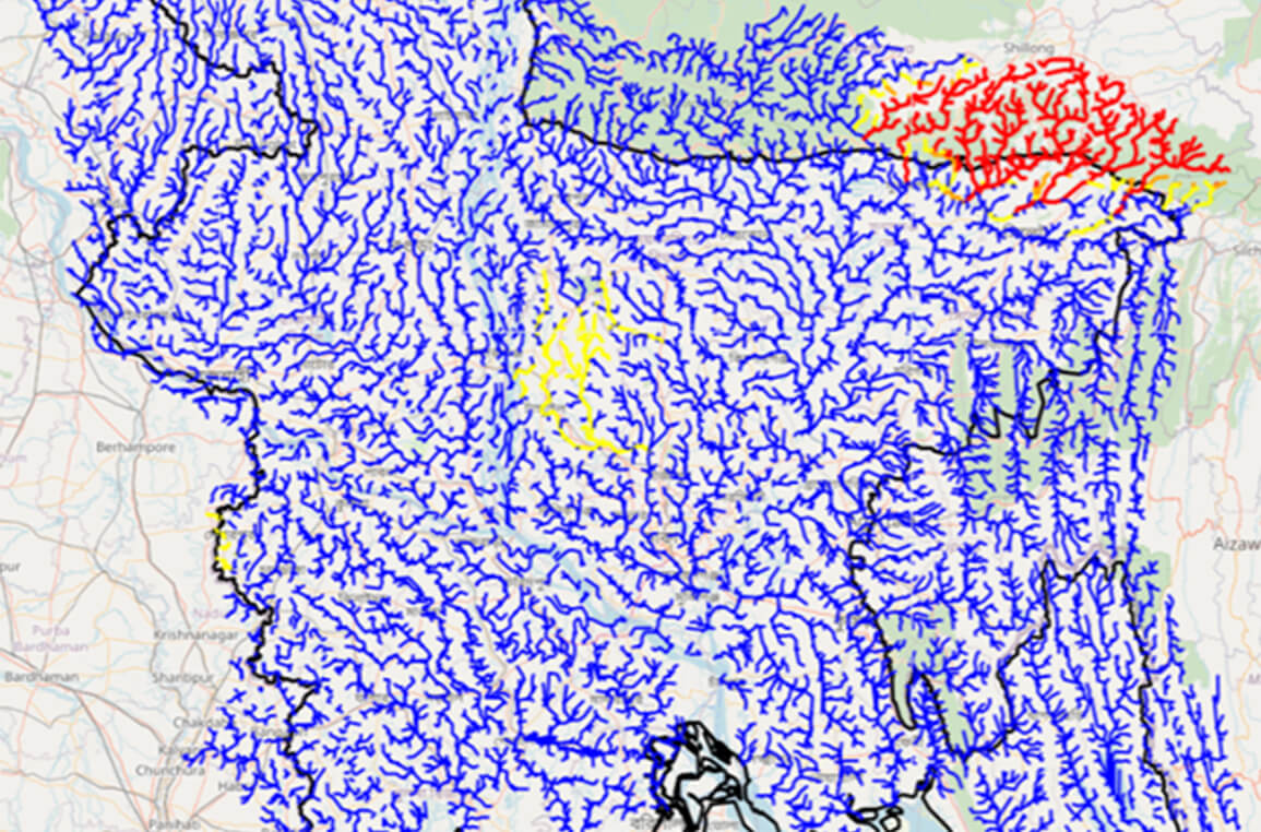
About The Flash Flood Prediction Tool for Bangladesh provides 54-hour flash flood forecasts for 10,049 river segments in Bangladesh. The tool provides predicted estimat ...
Regions:
Bangladesh
About Assessment and monitoring of land cover dynamics are essential for the sustainable management of natural resources, environmental protection, biodiversity conserv ...
Regions:
Bhutan
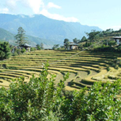
About Spatially explicit and periodic biomass information is essential for various purposes including identification of sustainable biomass use patterns for livelihood ...
Regions:
Nepal

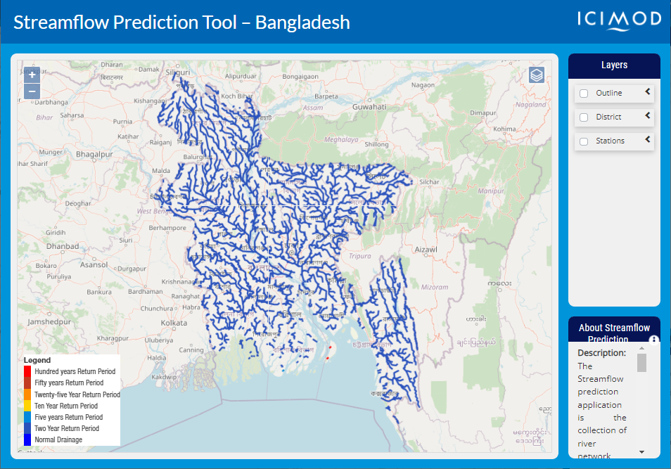
About The Streamflow Prediction Tool for Bangladesh provides 10-day forecasts for major river systems in Bangladesh. The Flood Forecasting and Warning Center (FFWC) use ...
Regions:
Bangladesh
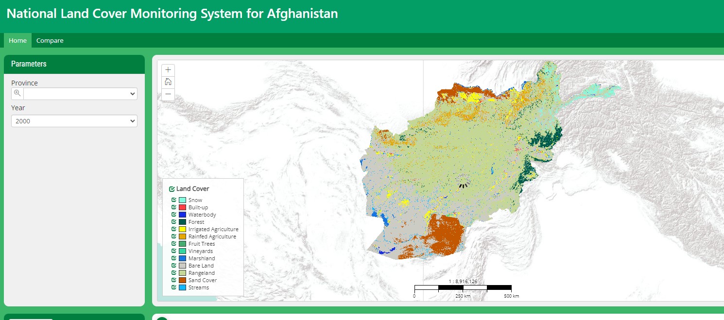
Assessment of land cover and understanding of its dynamics can support sustainable natural resources management, environmental protection, and food security of Afghanis ...
Regions:
Afghanistan
About Disclaimer The SERVIR Project, NASA, USAID and ICIMOD make no express or implied warranty of this application and associated data as to the merchantability or fit ...
Regions:
Nepal

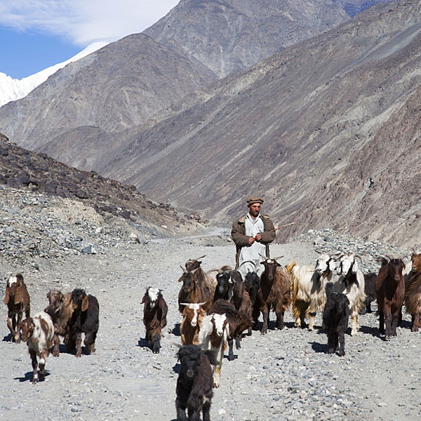
About This application has been developed to help decision makers in rangeland management in Pakistan. The application allows dynamic visualization of various layers re ...
Regions:
Pakistan

About Assessment and monitoring of land cover dynamics are essential for the sustainable management of natural resources, environmental protection, biodiversity conserv ...
Regions:
Bangladesh
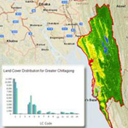
About Food security is emerging as a concern in the Himalayas, with changes in weather patterns, the water cycle, and water availability, due to climate change. Remote ...
Regions:
Nepal
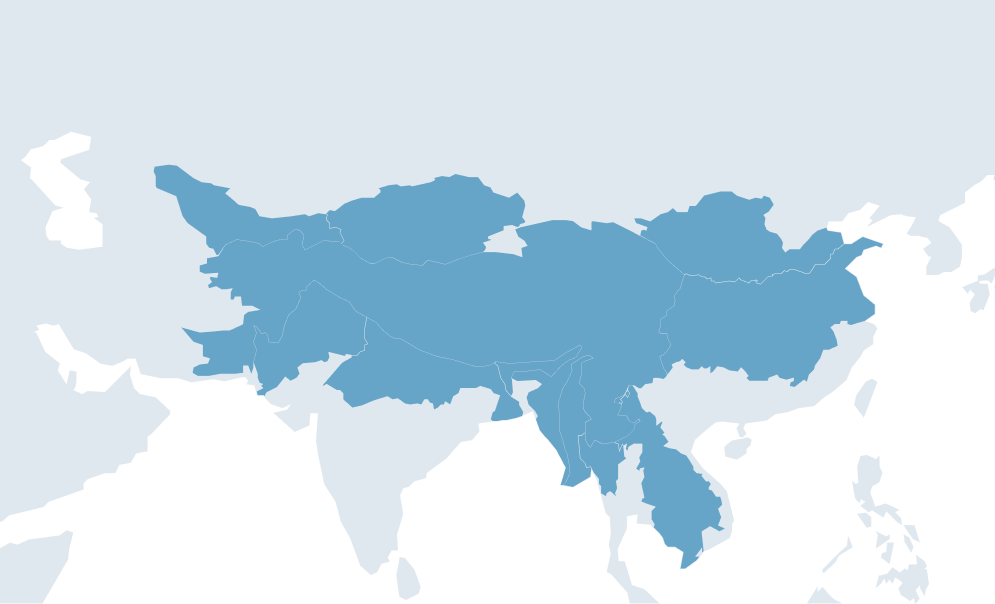
Our service areas
Our demand-driven geospatial services use Earth observations and climate data to support decision making and climate resilient development.