About
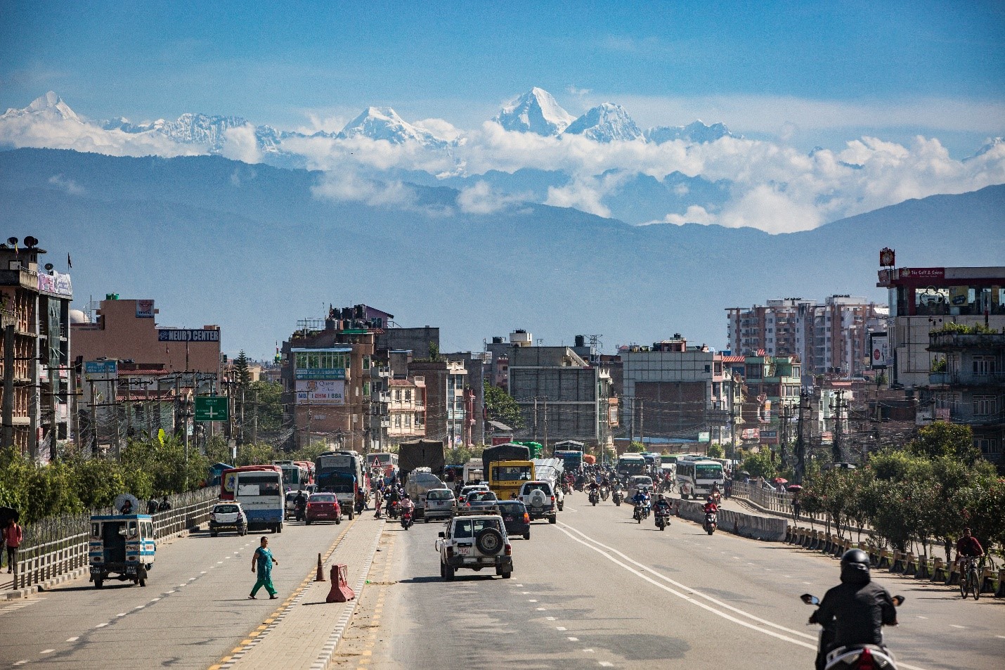
Air pollution poses a significant environmental and public health threat in the HKH region of south-central Asia, where the air quality frequently reaches unhealthy to hazardous levels. This can result in severe smog episodes and reduced visibility, negatively impacting the transportation sector. Especially, during the dry season a thick regional haze blankets the lower elevations of the southern HKH and the Indo-Gangetic plains affecting regional climate, altering precipitation patterns, contributing to the formation of persistent winter fog, and reducing both visibility and sunlight. This has a serious impact on aviation, tourism, ecosystems, and agricultural production. Typically, air pollution monitoring in the HKH region relies on a limited network of surface-based sensors, which failed to provide a regional air quality picture.
In 2021, a new Air Quality (AQ) service area was established by SERVIR in collaboration with ICIMOD’s (then Atmospheric Watch Initiative (AWI)) now an action area called Stimulating Action for Clean Air. To facilitate monitoring and prediction of air pollution in the region with advanced tools and data, a web-based dashboard has been developed that utilizes publicly available observation data, satellite-based remote sensing products, and atmospheric models. The air quality products developed by AST-NASA are also being integrated into the same dashboard, creating a single window for users to access comprehensive information.
“A data-driven strategy is necessary due to the intricacy of air pollution in the Hindu Kush Himalayan region. We can gain a deeper understanding of the causes and consequences of air pollution using advanced data and analytics, which will pave the way for more sensible policies and initiatives to protect this region.“
— Arshini Saikia, ICIMOD analyst
Rationale
To improve the current understanding of air pollution in the region and develop evidence-based solutions, it is crucial to establish a comprehensive collection of high-resolution satellite products and accurate chemical transport modeling systems. By creating advanced modeling systems and high-resolution satellite products, the project seeks to enhance pollution monitoring and forecasting capabilities in the HKH region. To facilitate the successful implementation and utilization of the outputs from the Air Quality Watch-HKH, tailored training programs and a user-friendly dashboard will be developed, along with intuitive data visualization tools, to benefit stakeholders in the HKH region.