The Bangladesh Forest Department (BFD) analyzes and uses land cover data for the national forest inventory, estimation of forest reference emission levels, and other forest management purposes. To help BFD staff gain new insights into using new and emerging technologies, the International Centre for Integrated Mountain Development (ICIMOD) carried out a five-day training workshop on the development of a National Land Cover Monitoring System for Bangladesh using Google Earth Engine (GEE).
The training was held at the Bangladesh Forest Department (BFD) campus in Dhaka, Bangladesh, from 10 to 14 March 2019. It involved 16 participants, including 8 from the Resources Information Management System (RIMS) unit of BFD, 1 research fellow, and 1 representative from the Food and Agriculture Organization.
The training workshop introduced participants to the framework that uses GEE and a standard set of input data sources to generate high-quality land cover maps on a regular basis. The framework is being used in the Regional Land Cover Monitoring System (RLCMS) that will generate land cover datasets using a harmonized classification scheme for the region.These datasets are compatible and customized with different national requirements. The RLCMS is being deployed in Afghanistan, Myanmar, and Nepal and is a collaborative effort between SERVIR-Mekong hosted by the Asian Disaster Preparedness Center (ADPC) and SERVIR Hindu Kush Himalaya (SERVIR-HKH) at ICIMOD. The collaboration is part of the SERVIR programme funded by the United States Agency for International Development (USAID) and the National Aeronautics and Space Administration (NASA) and brings together leading regional organizations from across the world to help developing countries use information provided by Earth-observing satellites and geospatial technologies for managing climate risks and land use.
BFD professionals trained at the workshop will use the methodology to develop land cover maps for two pilot districts in Bangladesh with technical backstopping from SERVIR-HKH. ICIMOD and BFD will work together to explore suitable support for the co-development of the National Land Cover Monitoring System for Bangladesh.
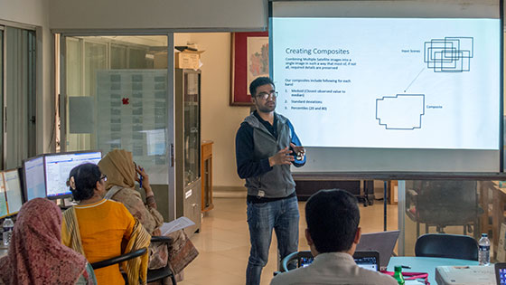
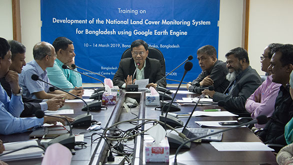
Participants learning how to use the GEE platform to develop land cover maps (Photo: Kabir Uddin/ICIMOD)