
Featured tools
Geofairy delivers geospatial information of your interested locations. It is a one stop shop for information about weather, soil and air quality. Geofairy also has a ci ...

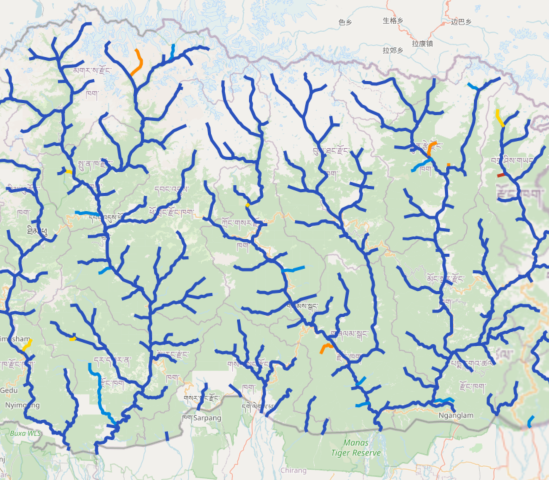
About The Streamflow Prediction Tool for Bhutan provides 10-day streamflow predicted estimates for 119 river segments in Bhutan; Each river segment displayed in the map ...
Regions:
Bhutan

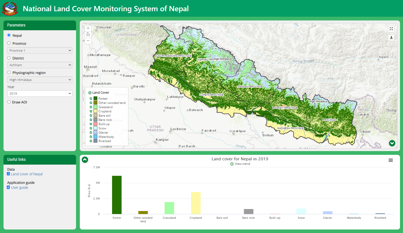
About Nepal’s National Land Cover Monitoring System (NLCMS) was developed by the Forest Research and Training Centre (FRTC) with technical support from SERVIR-HKH, a ...
Regions:
Nepal
About Agriculture is one of the important livelihood sector in the HKH region and provides a substantial proportion of rural income and employment opportunities to its ...
Regions:
Nepal
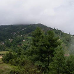
About Rationale The Hindu Kush Himalayan (HKH) region is extremely vulnerable to various types of water-induced disasters, given the region’s fragile geology, rugged ...
Regions:
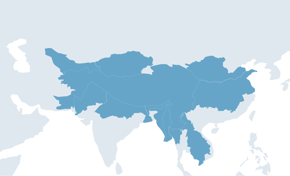
Nepal, Regional, Bangladesh, Bhutan

About Disaster Information Management System has spatial profiling of historical disaster events and impact records that can be used to draw policy relevant information ...
Regions:
Nepal
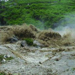
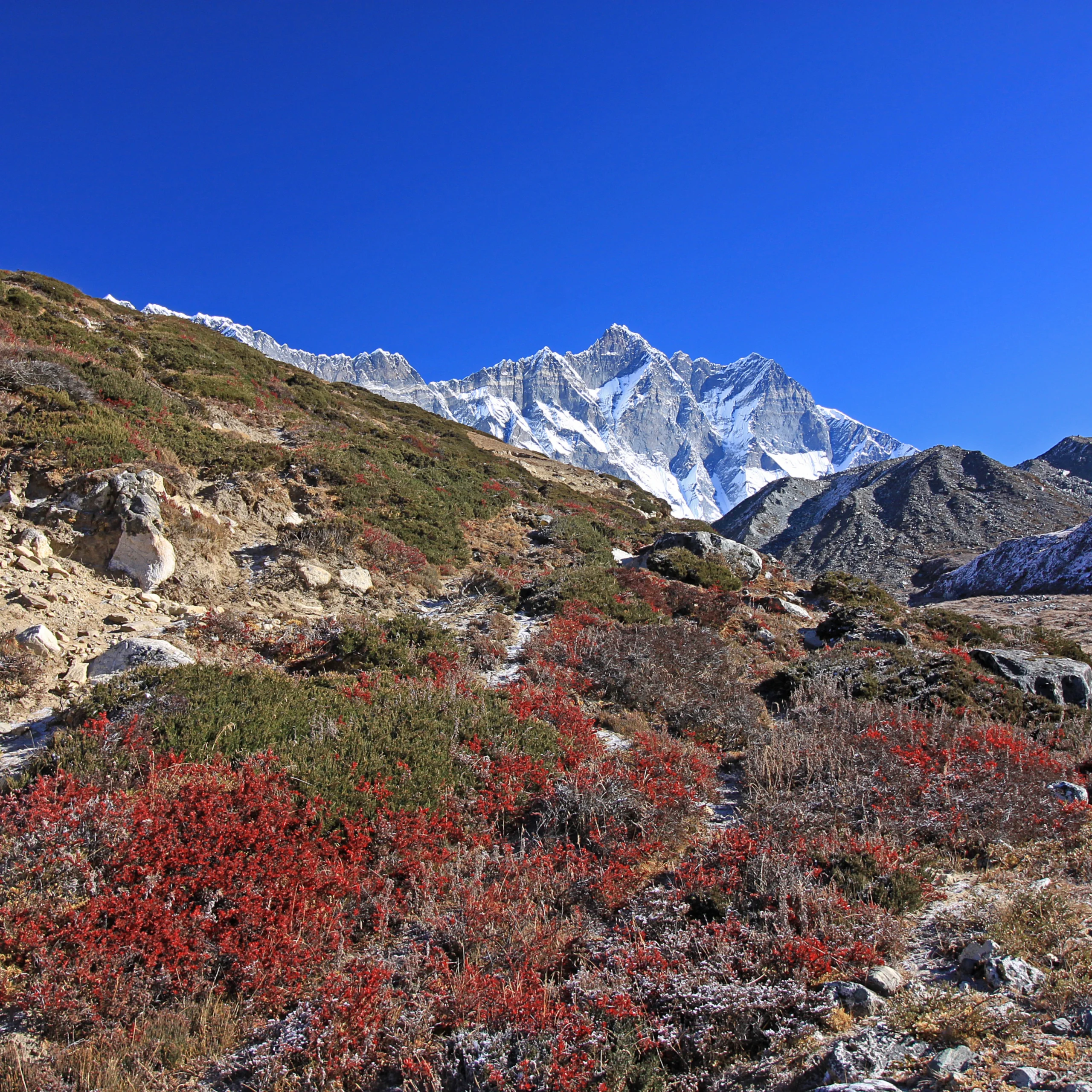
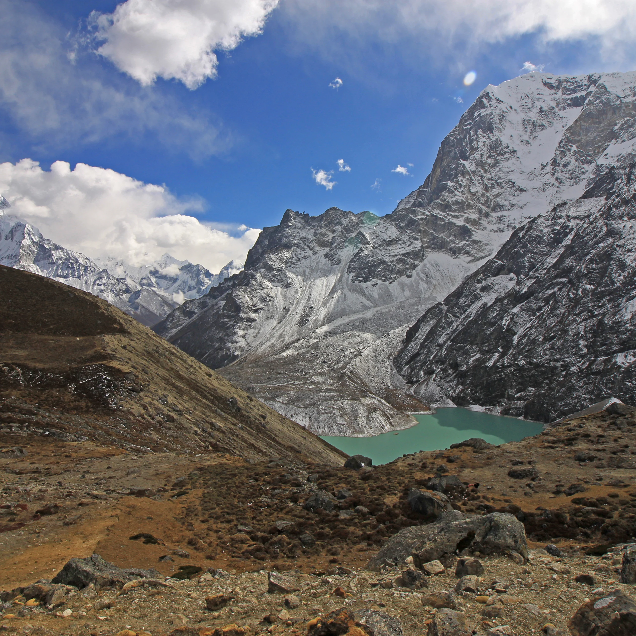
About Glaciers are repositories of information for climate change studies as they are sensitive to changes in temperature, precipitation, and at-surface solar radiation ...
Regions:
Bhutan
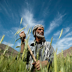
About Afghanistan is a landlocked country with an arid and semi-arid climate. Eleven percent of the arable land lies in temperate ecological zones. Wheat is a major cro ...
Regions:
Afghanistan
About Considering the impacts of global climate change on forest ecosystems and dependence of humans on the forests, there is an evident need for understanding the clim ...
Regions:
Nepal

Our service areas
Our demand-driven geospatial services use Earth observations and climate data to support decision making and climate resilient development.